
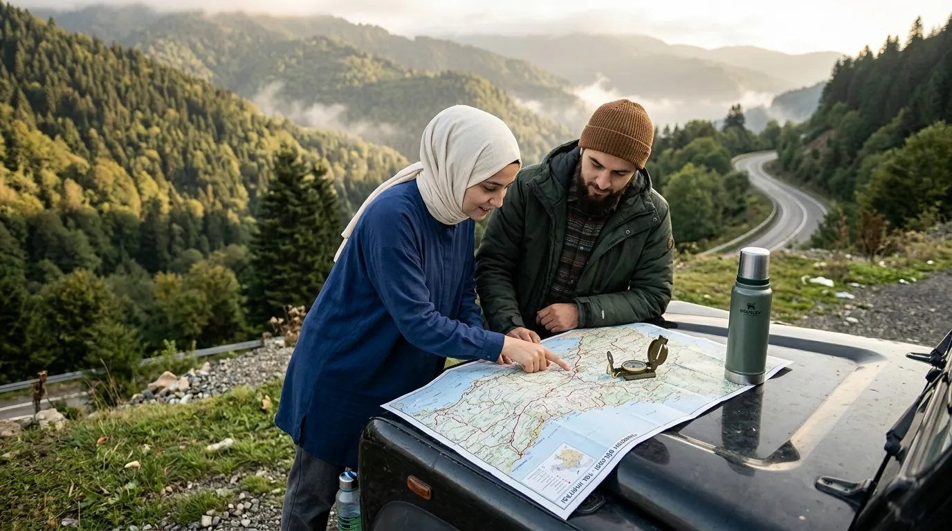
Quick Answer for Gulf Visitors
What does the Trabzon map look like? — A ribbon city stretched along the coast between the Black Sea to the north and the mountains to the south, so all movement runs east-west on the coastal road or south toward the highlands.
What are the key distances? — Airport 20 minutes from the center, Sera Lake 12 km west, Sumela Monastery 45 km south, Uzungol 99 km.
Do I need an Arabic map? — Street signs are in Turkish, but map apps fully support Arabic, and this guide removes the guesswork.
Understand the Shape of the City First
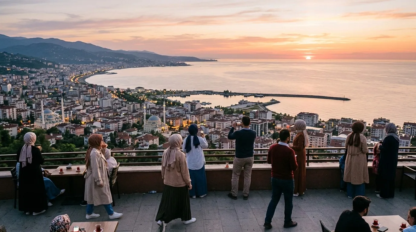
The single most useful key to reading Trabzon's map is that the city does not spread in circles like other capitals; it stretches as a thin band along the shore because mountains hem it in from behind. The coastal highway is the backbone: drive east and you reach Yalincak, Yomra and the resort hotels, then Akcaabat; drive west and you pass the historic downtown, ending at the airport on the far edge. South always means climbing: the Altindere valley and Sumela Monastery, and the roads toward Gumushane and Uzungol.
Locals navigate in plain language: toward the sea means north, toward the mountain means south, and the seaside promenade is the permanent meeting point. Grasp this rule and you will never be lost in Trabzon even without a map. For the city's position in the wider region, see our reference on where Trabzon is located.
Core Districts on the Map
| District | Map Position | Character | What You Will Find |
|---|---|---|---|
| Ortahisar (center) | Middle of the coastal strip | Historic and commercial | Hagia Sophia, covered bazaar, transit hub |
| Yildizli and Sera | West of center toward Akcaabat | Quiet residential | Sera Lake and elevated restaurants |
| Yalincak | East on the coastal road | Modern hotels | Five-star resorts and seaside promenade |
| Yomra | Far east | Upscale and calm | Family hotels and shopping centers |
| Akcaabat | West of center on the shore | Historic town | Its famous meatballs and quiet beach |
| Airport district | Far west | Practical | The airport and budget hotels |
Note that the drive from the far east of the strip (Yomra) to the center takes no more than twenty minutes outside rush hour, so an eastern hotel does not mean distance from the sights. District details and landmarks are expanded in our Trabzon city guide.
Distance Table from the City Center
| Destination | Distance | Driving Time | Direction |
|---|---|---|---|
| Trabzon Airport | 8 km | 20 minutes | West |
| Boztepe Hill | 4 km | 10 minutes | South of center |
| Sera Lake | 12 km | 15 minutes | West |
| Akcaabat town | 18 km | 20 minutes | West |
| Sumela Monastery | 45 km | 50 minutes | South via Macka |
| Macka town | 28 km | 35 minutes | South |
| Uzungol | 99 km | 2 hours | Southeast via Caykara |
| Ayder Plateau (Rize) | 80 km | 2 hours | East through the mountains |
| Rize city | 75 km | 1.5 hours | East along the coast |
Times assume calm traffic; mountain roads run slower than the raw distance suggests because of the curves. Add a fifteen-minute buffer for any highland run in foggy weather, and check conditions on the official meteorology site before climbing to the plateaus.
The Main Roads You Will Rely On
The coastal road ties the whole city together from the airport in the west to Yomra in the east, carrying most hotels, restaurants and malls. The Macka road branches south near the center, climbing the Altindere valley to Sumela Monastery; it is winding but well paved and safe with patient driving. The Uzungol route runs southeast through Caykara, and parts narrow inside villages, which is why families prefer a spacious van or an organized tour.
The eastern coastal road toward Rize and Ayder is a comfortable shore drive that climbs inland at Ardesen toward the plateaus. Anyone pairing Trabzon with Ayder should note the final half hour is a serpentine climb, and most travelers hand the wheel to a guided tour that manages both driving and the return schedule.
Airport Navigation on the Map
Trabzon Airport sits at the western end of the strip, which means families staying in Yalincak or Yomra hotels cross the entire city on arrival, a total of twenty to thirty minutes. Times stretch between four and seven in the evening with end-of-day traffic, so arrivals in that window benefit most from a pre-booked private transfer waiting in arrivals with a name board. If your journey starts in Istanbul, our Sabiha Gokcen airport transfer guide explains how to budget time between Istanbul's airports.
Using Map Apps in Arabic in Trabzon
Type landmark names in English or Turkish in your map app because Arabic search does not always match: enter Sera Golu or Sera Lake for the lake, Boztepe for the hill, Sumela Manastiri for the monastery and Uzungol for the highland lake. Download the region for offline use before leaving the hotel, since coverage thins in some highland valleys, and photograph your parking spot at excursion sites to find the car easily at return. The golden rule in Trabzon: if disoriented, get back to the coast, because the coastal road returns you to any point in the city.
Getting Around: Transport Comparison
| Option | Approximate Cost | Advantage | Drawback |
|---|---|---|---|
| Taxi | Reasonable in-city | Fast, door to door | Needs negotiation or a fair meter |
| Pre-booked private transfer | Slightly higher | Comfortable with family and luggage | Requires advance booking |
| Buses and dolmus | Very cheap | Authentic local experience | Crowded, Turkish-only stops |
| Self-drive rental | Moderate daily | Total freedom on tours | Mountain roads demand care |
| Organized tour | Inclusive of car and guide | Best value for groups | Fixed schedule |
With small children and a packed program, most Gulf visitors settle on a practical mix: private transfer for the airport, organized tours for the far highlands, and taxis for short hops along the coast. Hotel choices per district are detailed in our best hotels in Trabzon list.
Day Trips on the Map: Three Clear Rings
Reading the map as rings simplifies planning more than any list of sights. Ring one sits inside the city itself: a radius of barely five kilometers around the center holding Hagia Sophia, the covered bazaar, Ataturk Pavilion and Boztepe, coverable with a single taxi ride per day without strain. Ring two runs thirty to sixty minutes out: Sera Lake to the west, Akcaabat town and the Yomra promenade to the east, gentle evening outings that need no full day. Ring three is the far one: Sumela to the south, Uzungol to the southeast and Ayder to the east, each deserving its own day with a morning start.
Anyone who grasps these rings plans without confusion: one day for ring one, an evening for ring two, and up to three days for ring three if time allows, or two days picking the closest pair. A five-night family covers rings one and two plus two outer excursions, leaving evenings for the hotel and the promenade.
| From / To | City Center | Boztepe | Sera Lake | Airport |
|---|---|---|---|---|
| Downtown hotels | Walking | 10 min | 15 min | 20 min |
| Yalincak hotels | 15 min | 20 min | 30 min | 30 min |
| Yomra hotels | 20 min | 25 min | 35 min | 35 min |
| Akcaabat hotels | 20 min | 25 min | 10 min | 25 min |
The table exposes an overlooked point: western Akcaabat hotels sit closest to Sera Lake and the airport, while eastern ones serve Yomra and the Uzungol road best. Matching your hotel side to your excursion priorities saves hours of cumulative driving across a trip.
Driving in Fog and Rain
Black Sea weather shifts by nature, and a share of visitor accidents traces back to speed on wet surfaces. Four golden rules: never overtake a truck into a blind curve, run headlights in fog even at midday, slow before tunnels and bridges where grip changes suddenly, and favor gradual deceleration over hard braking in light rain. Morning fog thickens in the valleys between seven and nine in autumn and spring, so schedule excursion departures right after it lifts. If mountain driving is new to you, do not debut here; an organized tour with a local driver dissolves the worry at a fair price.
Coast Days versus Mountain Days
How you split days between shore and summit defines the trip's shape. Relaxation families give the mountains just two days and devote the rest to the promenade, cafes and malls for a low-strain holiday. Adventure families flip the ratio: a highland outing daily with early starts, evenings for recovery. The golden middle most choose alternates a mountain day with a coast day, with Boztepe and Sera evenings woven between. The map serves every formula because distances are short: the nearest hill stands no more than ten minutes from any coastal hotel, and the longest stretch of shoreline demands no more than half an hour on the comfortable coast road.
Family Notes for the Road
Moving around Trabzon with children calls for small arrangements that lift comfort dramatically. Pack one day-bag within reach holding water, snacks and basic medicines: rest stops exist on the mountain roads but sit far apart inside some valleys. Child seats are legally required for the relevant ages, private transfer companies supply them free on request at booking, while rentals bill them daily. Plan breaks every ninety minutes on far excursions: Macka town on the Sumela road and Caykara on the Uzungol road offer cafes and clean washrooms, and these short stops turn a tiring drive into a small adventure for the kids.
Prayer direction and times are easy on this map: mountains south and sea north mean the qibla points roughly southeast across most of the city, mosques stand in every district, mall and airport prayer rooms are ready, and prayer-time apps run precisely on local data. In coastal restaurants, many families ask for the dedicated family section, available in most traditional Turkish venues without extra charge.
Practical Info for Gulf Visitors
| Item | Details |
|---|---|
| Signage | Turkish; map apps support Arabic |
| Fuel | Continuous stations along the coastal road |
| Mountain-road rest stops | Cafes at the entrance of each excursion valley |
| Network | Good on the coast, patchy in the valleys |
| Best offline map | Download the Trabzon region beforehand |
| Country context | For the city within the country's expanse see Türkiye area in km2 |
FAQ (12 Questions)
- Does Trabzon only stretch east-west? — Mostly yes; mountains confine the south, so the city is a coastal ribbon.
- What is the farthest worthwhile sight? — Uzungol at 99 km, about two hours by car.
- Where exactly is the airport? — At the far west of the coastal strip, 8 km from the center.
- Is Sumela Monastery hard to reach? — No; a well-paved winding road of fifty minutes via Macka.
- What is the closest nature spot to the hotels? — Sera Lake west of the center in fifteen minutes; Boztepe is nearer to eastern hotels.
- Is cycling practical? — The seaside promenade is excellent; mountain roads are demanding.
- How do I find my hotel if lost? — Return to the coastal road and pick direction by district name.
- Are the roads safe with children? — Yes, with child seats and moderate speed on the curves.
- Which map app works best? — Global map apps work well with the region downloaded offline.
- Are there English road signs? — On main roads yes; in neighborhoods Turkish only.
- How long is the drive from Yomra to the center? — About twenty minutes outside rush hour.
- Can I rely on buses for outer excursions? — Lines serve nearby towns, but distant sights need a car or tour.
Conclusion
Trabzon's map is simpler than it looks in photos: one coastal ribbon holding the hotels and sights, with mountains opening south to the surprises. Memorize three rules: the coast is your constant reference, south means highlands, and the airport sits at the far west. With these keys you will move around the city and its valleys like a practiced visitor, splitting your days wisely between the near and the far.
Sources
Related travel guides
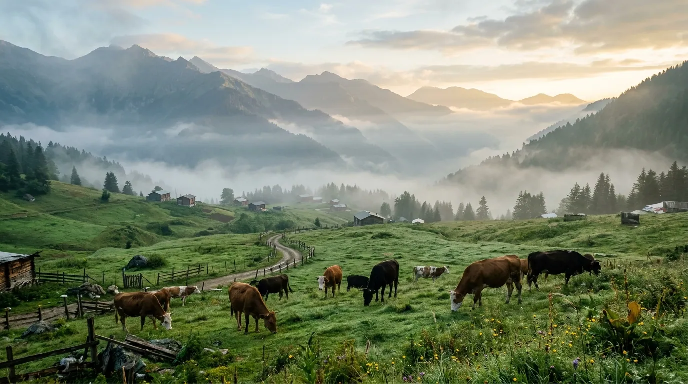
Ayder highlands 5-day itinerary 2026: a day-by-day plan for Arab families covering thermal pools, valleys, and Trabzon.
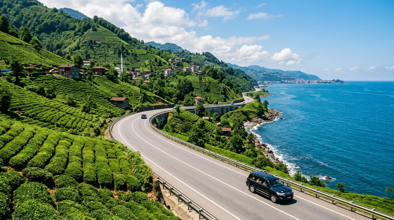
Ayder Trabzon distance 5-day itinerary 2026: a day-by-day plan for Arab families covering the transfer route.
Ayder Turkey weather 2026: monthly averages, rain patterns, best months to visit, and packing tips for Gulf families.
Ready to explore Turkey?
Voyago brings together hotels, tours and transfers to help you plan the perfect trip to Turkey.