
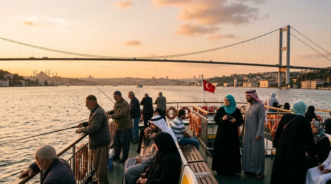
Quick Answer for Arab Visitors
Where is Turkey located? — Western Asia and southeastern Europe: 97% of its territory lies in Asia (the Anatolian peninsula) and 3% in Europe, with the two continents meeting at the Bosphorus strait in Istanbul.
What are Turkey's coordinates? — Between latitudes 36°N and 42°N and longitudes 26°E and 45°E — placing it in roughly the same latitude band as Greece and Japan.
How long is the flight from the Gulf to Turkey? — From 4 hours (Dubai-Istanbul) to 5 hours (Riyadh-Istanbul) on daily direct flights from every Gulf capital.
Turkey's Location: An Overview in Numbers
Turkey's location is one of its defining features worldwide: a single country sitting on two continents, four seas, and two international straits, bridging Europe, Asia, and the Middle East. Historically this position made it the hub of trade routes (the Silk Road) and empires (Byzantine and Ottoman); today it makes it an easy-to-reach destination for Arab travelers — just 4-5 hours from the Gulf with an identical time zone.
Key Location Figures
- Area: 783,562 km² (35th worldwide)
- Span: about 1,600 km west-east and 650 km north-south
- Coastlines: over 8,300 km across four seas
- Land borders: with 8 countries totaling about 2,900 km
- Coordinates: 36-42°N, 26-45°E
- Easternmost point: near Iran and Armenia — farther east than Riyadh is from Cairo
In practice this size means Turkey is not one destination but several: before the time zone was unified, its east and west were a full hour apart, and the distance from Istanbul to eastern Anatolia roughly equals Dubai to Cairo. So plan your trip around one defined region rather than trying to cover the whole country in a single break.
Two Continents and Four Seas
Between Europe and Asia
- Asian part (Anatolia): 97% of the area
- European part (East Thrace): 3% — containing part of Istanbul and the city of Edirne
- The divide: the Bosphorus and Dardanelles straits and the Sea of Marmara
- A unique experience: in Istanbul you can cross from one continent to the other by ferry in 20 minutes
The Four Seas
- Black Sea to the north: the Trabzon and Samsun coasts — green, rainy, and mild in summer
- Aegean to the west: Izmir, Bodrum, and Kusadasi — islands, clear waters, and gentle winds
- Mediterranean to the south: Antalya and Hatay — the longest coastline with golden beaches
- Sea of Marmara: the inland sea around Istanbul and Bursa — its short cruises are delightful
The Two Straits: Bosphorus and Dardanelles
- Bosphorus: 31 km inside Istanbul, linking the Black Sea to the Marmara, lined with palaces and fortresses that are the city's top draws
- Dardanelles: at the far west near Canakkale, linking the Marmara to the Aegean, and crossed by the historic Gallipoli campaign
- Both are international waterways carrying the world's shipping, and watching giant oil tankers pass from the Bosphorus parks is an everyday sight
Neighbors and Borders
Turkey neighbors eight countries: Greece and Bulgaria to the west in Europe, Georgia to the northeast, and Armenia, Azerbaijan (Nakhchivan), Iran, Iraq, and Syria to the east and south. Its longest border is with Syria (822 km), then Iran (500 km).
This neighborhood gives travelers regional trip options: cross into Georgia from Trabzon within two hours and visit Batumi, take a boat to the Greek islands within an hour, or hop to Northern Cyprus on a short domestic-style flight. All are easy add-ons arranged through local tours or organized sea trips without major hassle.
The Location for Arab Travelers
Flight Times from the Gulf
- Dubai/Abu Dhabi - Istanbul: 4-4.5 hours
- Riyadh/Jeddah - Istanbul: 4.5-5 hours
- Doha/Kuwait - Istanbul: 4-4.5 hours
- Manama/Muscat: via Istanbul or Doha with 5-6 hours total
- Daily direct flights from every Gulf capital to Istanbul, plus seasonal services to Trabzon and Antalya
Time Zone
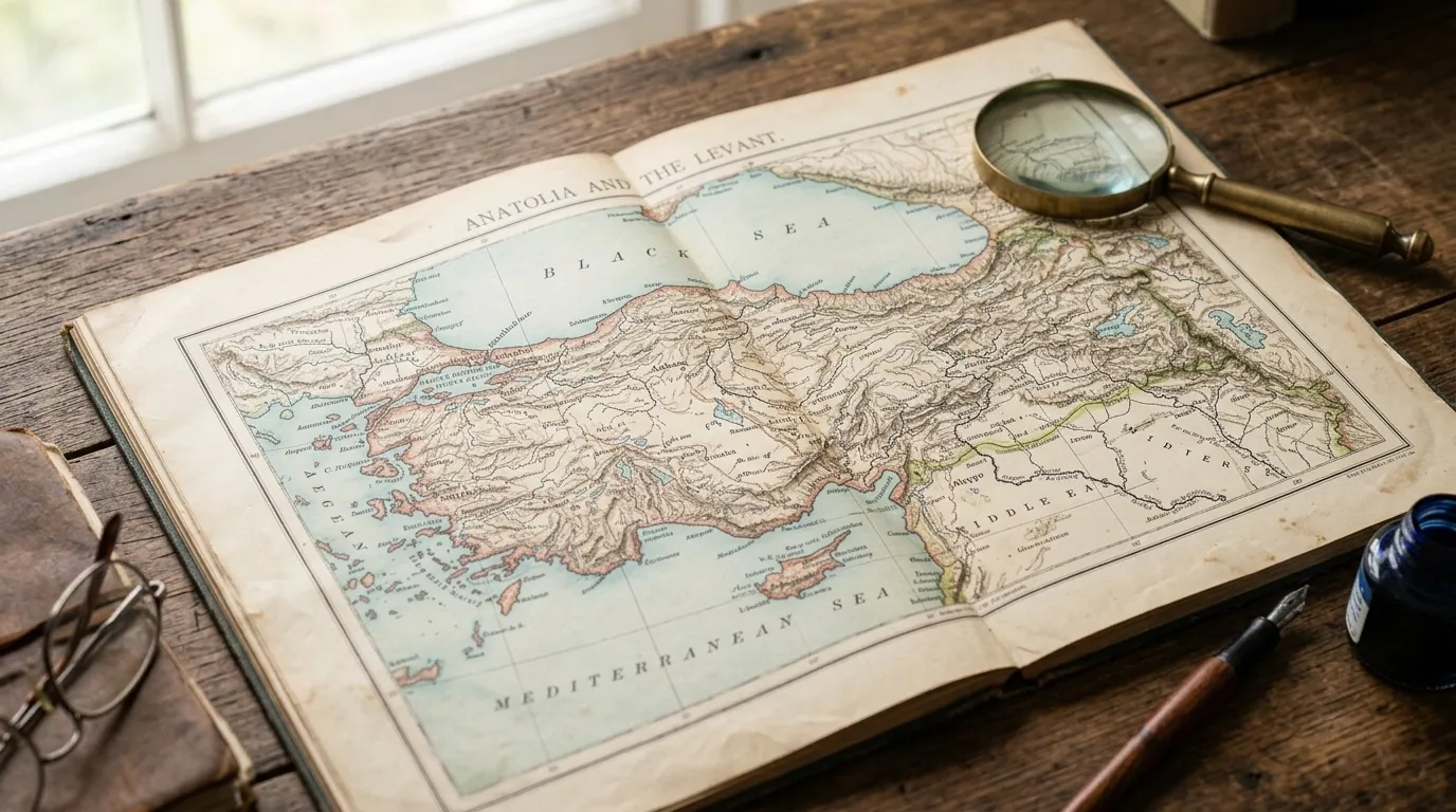
Turkey's time zone (UTC+3) is identical to every Gulf state's — no hour difference and no schedule disruption. You wake up, pray, call home, and follow work on exactly the same clock, an advantage neither Western Europe nor East Asia offers.
Latitude, Longitude, and Your Trip
Sitting between 36°N and 42°N has a direct effect your family will feel:
- Summer daylight: 14-15 hours daily in June and July, filling your days with activities until 9 p.m.
- Winter daylight: shrinks to 9-10 hours, so start your outings before 8 a.m.
- Sun strength: fiercer in the south (Antalya) and gentler in the north (Trabzon) in the same month
- Snow: northern latitudes plus altitude keep Uludag ski-ready from December to March
Distance Comparison Between Turkey's Main Destinations
| Route | By road | By air | Best for families |
|---|---|---|---|
| Istanbul - Ankara | 4.5-5 hours | 1 hour | Flying or the high-speed train |
| Istanbul - Trabzon | 11-12 hours | 1.5 hours | Always fly |
| Istanbul - Antalya | 8-9 hours | 1.25 hours | Fly |
| Istanbul - Cappadocia | 8-9 hours | 1.25 hours | Fly to Kayseri or Nevsehir |
| Trabzon - Ankara | 9-10 hours | 1.25 hours | Fly |
| Antalya - Izmir | 6-7 hours | 1 hour | Fly, or the scenic coastal drive |
The practical rule: replace any road journey beyond 4 hours with a domestic flight; tickets are cheap when booked early and save your family a full day of exhaustion.
Turkey's Seven Geographic Regions and Why They Matter to Your Trip
Geographically and administratively, Turkey divides into seven regions, each with a distinct character travelers feel from day one:
| Region | Character | Top destinations | Best for |
|---|---|---|---|
| Marmara | Cities and nearby escapes | Istanbul, Bursa, Yalova | First and short trips |
| Aegean | Coasts, islands, ancient sites | Izmir, Bodrum, Kusadasi, Ephesus | History plus sea |
| Mediterranean | Golden beaches and resorts | Antalya, Fethiye, Kemer | Family beach holidays |
| Central Anatolia | Plateau, steppe, and history | Cappadocia, Ankara, Konya | Balloons and Islamic heritage |
| Black Sea | Green mountains and rain | Trabzon, Rize, Uzungol | Escaping heat; families |
| Eastern Anatolia | Mighty highlands and lakes | Van, Mount Ararat region | Adventurers and raw nature |
| Southeastern Anatolia | Mesopotamian civilizations | Mardin, Urfa, Diyarbakir | History and Arab culture |
This division explains why Turkey feels like a different country from trip to trip: one family enjoys cool green Trabzon in the same week another basks in Antalya's sun — both in Turkey.
Mountains and Rivers: Geographic Details Worth Knowing
- Mount Ararat: Turkey's highest peak (5,137 m) in the far east, snow-capped most of the year
- Taurus ranges: Separate the southern coast from the interior plateau, framing the Mediterranean's terraced beauty
- Tigris and Euphrates: Both rise in Turkey's highlands before flowing toward Iraq and Syria — Turkey is the cradle of Mesopotamia's great rivers
- Lake Van: Turkey's largest lake, with salty water and an island church forming a unique landscape
- Cappadocia's valleys: The product of volcanoes and wind over millions of years, creating the world's only fairy chimneys
Turkey as a Connecting Hub Between the Gulf and the World
Istanbul's air position makes it one of the world's busiest transit hubs, and this serves Gulf travelers in two ways: competitive fares on direct routes thanks to multiple rival carriers, and comfortable onward connections to Europe, the Balkans, and Central Asia through the same airport. Many families build a two- or three-day Istanbul stopover into a journey to another destination, effectively gaining a bonus Istanbul trip inside a single ticket.
Choosing Your Arrival Airport by Destination
| Your destination | Best arrival airport | Note |
|---|---|---|
| Istanbul and beyond | Istanbul Airport or Sabiha | First one for European-side hotels |
| Trabzon and Uzungol | Trabzon direct seasonally | Or via Istanbul in 2 hours |
| Antalya and the coast | Antalya direct | Dense seasonal Gulf flights |
| Cappadocia | Kayseri or Nevsehir via Istanbul | The domestic leg is 1.25 hours |
| East and southeast | Urfa or Diyarbakir via Istanbul | For Mardin and historic regions |
Why Turkey's Location Matters for Your Planning
- Closeness: the nearest combined European-Asian destination to the Gulf
- Identical time zone: flights and meetings need no adjustment
- Variety: sea, mountains, and cities in one nearby country
- Regional connections: easily add Georgia, Cyprus, or the Greek islands
- North versus south: the same flight time delivers either cool weather (Trabzon) or sunshine (Antalya)
- Opposite seasons: when one region's season ends another begins — beach season in the south runs through summer while the north's green season runs May to September
Practical Info for Arab Visitors
| Item | Details | Note for Arab Visitor |
|---|---|---|
| Continents | Asia 97%, Europe 3% | The Bosphorus divides them |
| Area | 783,562 km² | Larger than all Gulf states combined except Saudi Arabia |
| Seas | 4 seas | Black, Aegean, Mediterranean, Marmara |
| Neighbors | 8 countries | Longest: Syria and Iran |
| Flight from Gulf | 4-5 hours | Daily direct flights |
| Time | UTC+3 | Identical to the Gulf |
| Coordinates | 36-42°N | Like Greece and Spain in latitude |
| Longest coast | Mediterranean | Antalya's golden beaches |
| Visa | GCC exemption | 90 days per 180 |
| Currency | Turkish Lira | 1 USD ≈ 38-40 TRY |
FAQ
- Where exactly is Turkey located? — Western Asia and southeastern Europe: the Anatolian peninsula surrounded by three seas, with a small European section, joining the two continents at the Bosphorus.
- Is Turkey really on two continents? — Yes: 97% of its land is Asian and 3% European, and Istanbul itself is split between the continents — half in Asia and half in Europe.
- What are Turkey's geographic coordinates? — Between latitudes 36-42°N and longitudes 26-45°E, roughly the same latitude band as Greece, Spain, and southern Japan.
- How long is the flight from Riyadh to Turkey? — About 4.5-5 hours to Istanbul on multiple direct daily flights throughout the day.
- Is Turkey's time zone the same as the Gulf's? — Yes, identical (UTC+3) year-round — no watch changes and no flight schedule confusion.
- Which seas does Turkey border? — Four: the Black Sea to the north, the Aegean to the west, the Mediterranean to the south, and the Sea of Marmara between the continents around Istanbul.
- Which countries neighbor Turkey's location? — Eight: Greece, Bulgaria, Georgia, Armenia, Azerbaijan (Nakhchivan), Iran, Iraq, and Syria.
- How large is Turkey's area? — 783,562 km² — larger than the Gulf states combined except Saudi Arabia — stretching 1,600 km from west to east.
- Why is Turkey's location important for trade? — It controls the Bosphorus and Dardanelles, connecting the Black Sea to the world's oceans, and was the historic hub of the Silk Road.
- Can I see two continents in one trip? — Yes, in Istanbul: cross the Bosphorus by ferry or bridge from the Asian side to the European side in 20 minutes.
- What is the closest European point for an Arab traveler in Turkey? — Istanbul's European side: the old Byzantine capital and Galata are all just 4-5 flight hours from the Gulf.
- Which part of Turkey is closest to the Gulf by air? — Southern Turkey (Antalya and Mersin) is slightly closer geographically, but most direct flights land in Istanbul, the country's biggest air hub.
Conclusion
Turkey's location is the secret of its appeal: two continents, four seas, eight neighbors, a time zone identical to the Gulf's, and just four flight hours away. Choose your region wisely by season, use the domestic airport network instead of long roads, and turn this closeness into a trip that combines sea, mountains, and history in one country.
Hotels in Turkey · Private transfer in Turkey · Turkey tours
Take advantage of Turkey's unique location and book your trip today!
Related Articles and Resources
For a complete trip to Turkey, explore these helpful resources:
- Browse and book hotels across Turkey
- Reserve private transfer services
- Book guided tours and excursions
- Read more: Turkey's neighboring countries
- Read more: The state of Turkey facts
- Read more: Travel to Turkey guide
- Read more: Which continent is Turkey in
- Read more: Turkey map overview
Official Sources
Verify travel information through these official channels:
- Visa application: evisa.gov.tr
- Weather updates: mgm.gov.tr
- Tourism portal: goturkiye.com
- Foreign affairs: mfa.gov.tr
- Maps: yandex.com.tr/maps
Sources
Related travel guides
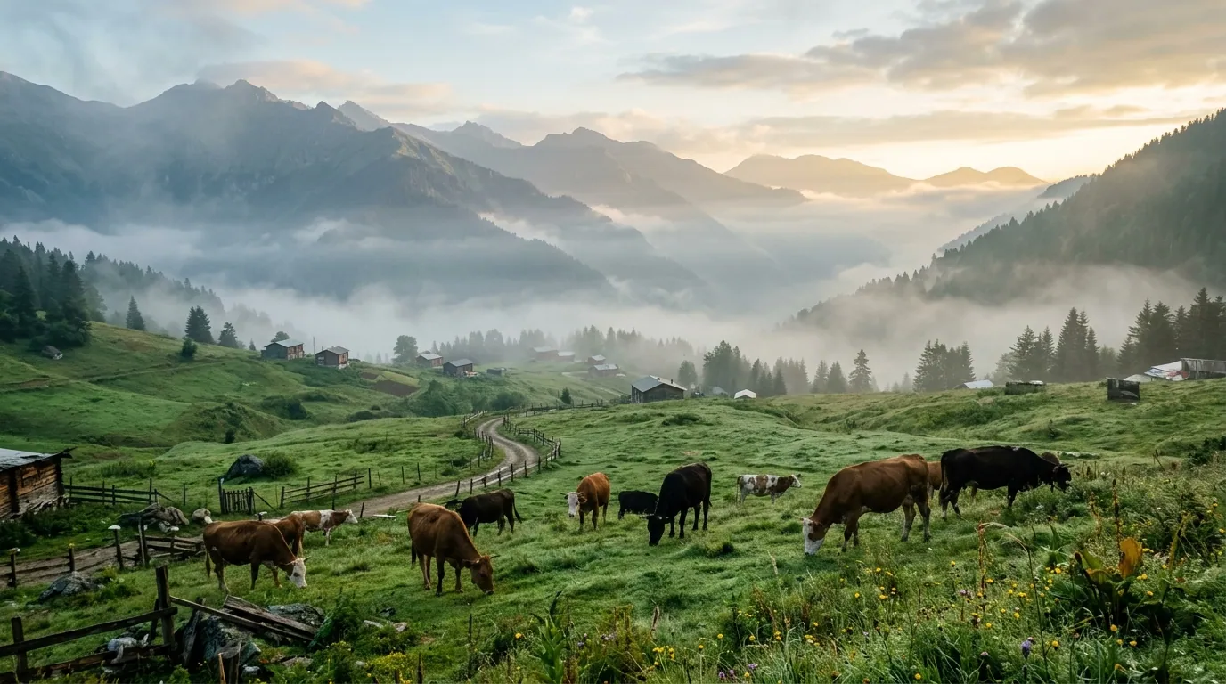
Ayder highlands 5-day itinerary 2026: a day-by-day plan for Arab families covering thermal pools, valleys, and Trabzon.
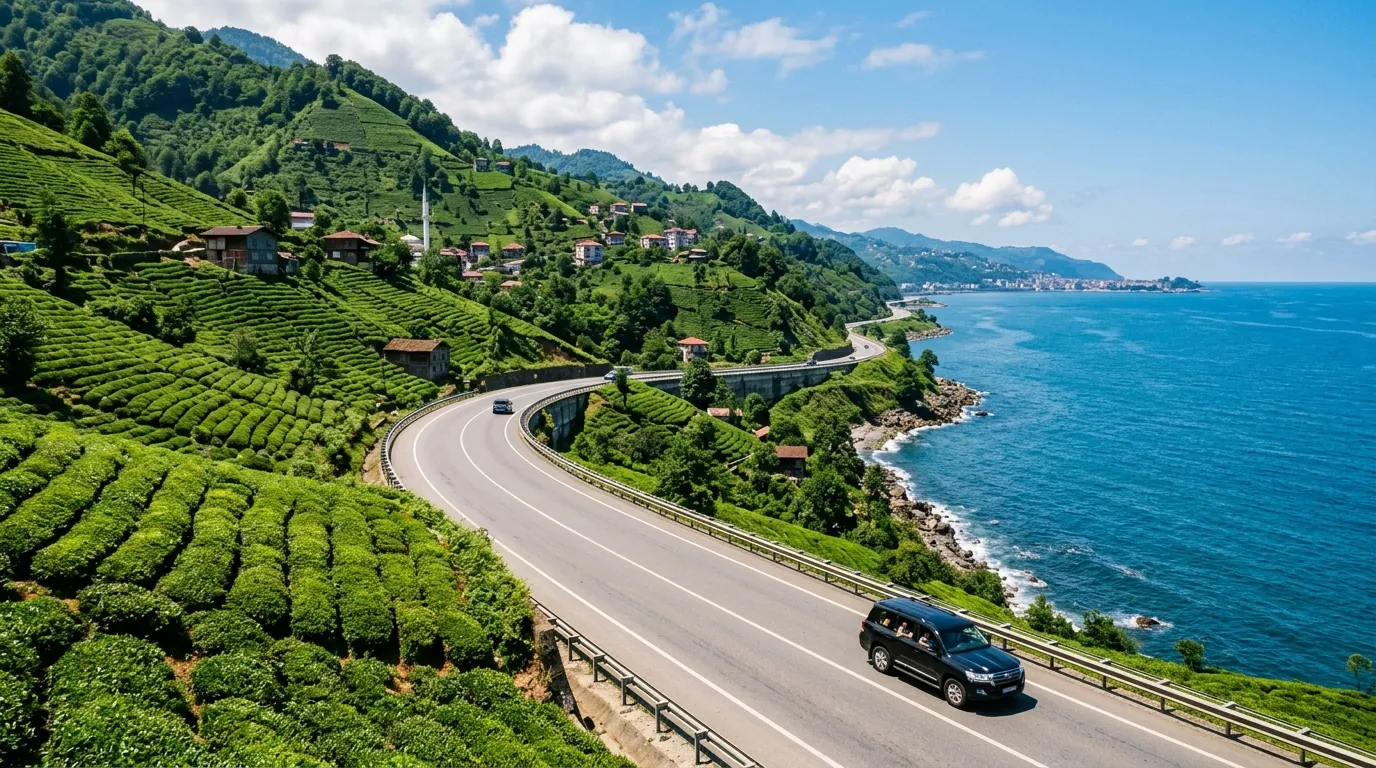
Ayder Trabzon distance 5-day itinerary 2026: a day-by-day plan for Arab families covering the transfer route.
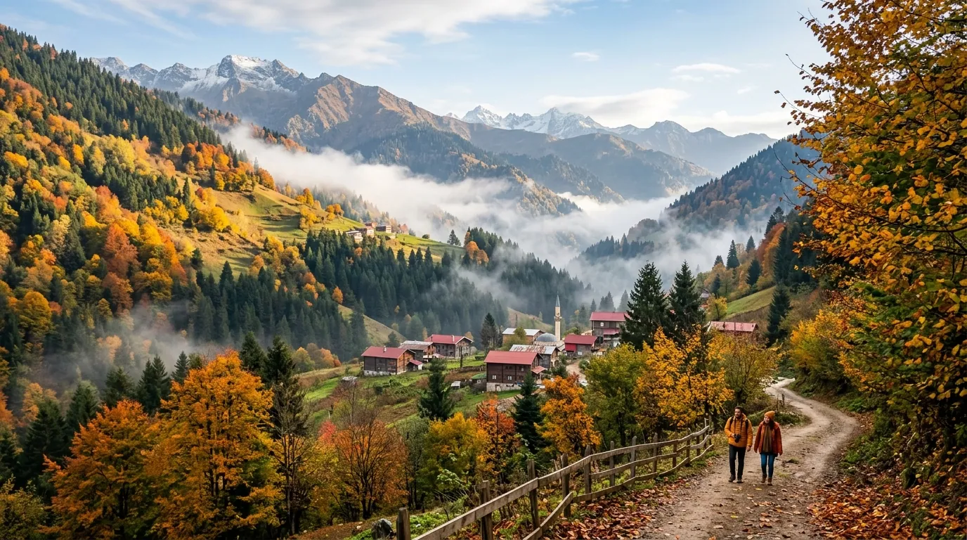
Ayder Turkey weather 2026: monthly averages, rain patterns, best months to visit, and packing tips for Gulf families.
Ready to explore Turkey?
Voyago brings together hotels, tours and transfers to help you plan the perfect trip to Turkey.