
Quick Answer for Arab Visitors
Where is Turkey located? — Turkey sits at the crossroads of Asia and Europe, covering 783,562 square kilometers: about 97% in Asia (Anatolia) and 3% in Europe (Thrace).
How many neighbors and seas does Turkey have? — Turkey shares land borders with 8 countries and overlooks 3 main seas: the Black Sea in the north, the Aegean in the west, and the Mediterranean in the south, plus the Sea of Marmara.
How long is the flight from the Gulf to Turkey? — Only 3 to 5 hours direct: Riyadh 4.5 hours, Dubai 4.5 hours, Doha 4 hours, and Kuwait about 3.5 hours.
Why Turkey's Location Matters for Arab Visitors
Turkey's location is one of the most exceptional in the world; it is a natural bridge between East and West and served throughout history as a corridor for caravans and civilizations. This location gives Arab travelers two clear advantages: geographic proximity to the Gulf (3-5 hours by air) and stunning diversity within a single country: Mediterranean beaches, alpine mountains, central steppe, and the lush Black Sea coast.
Understanding Turkey's location helps you pick your destination: the north for mild summers, the south for warm beaches, and the center for history and Cappadocia's lunar landscapes.
Key Numbers About Turkey's Location
- Total area: 783,562 square kilometers (only 37 countries are larger)
- Asian part: about 755,000 square kilometers, known as Anatolia
- European part: about 23,000 square kilometers, known as Thrace
- Coordinates: roughly 39 degrees north, 35 degrees east (central Anatolia)
- Capital: Ankara, in the geographic center of the country
- Largest city: Istanbul, the only major city spanning two continents
- Provinces: 81
- Population: about 85-86 million (2026)
- Highest point: Mount Ararat at 5,137 meters near the Iranian and Armenian borders
- Coastline: more than 8,300 kilometers including islands
Neighboring Countries and Seas
The Eight Neighbors
| Direction | Countries |
|---|---|
| West | Greece and Bulgaria |
| East | Georgia, Armenia, Azerbaijan (Nakhchivan) |
| Southeast | Iran and Iraq |
| South | Syria |
Strategic Straits
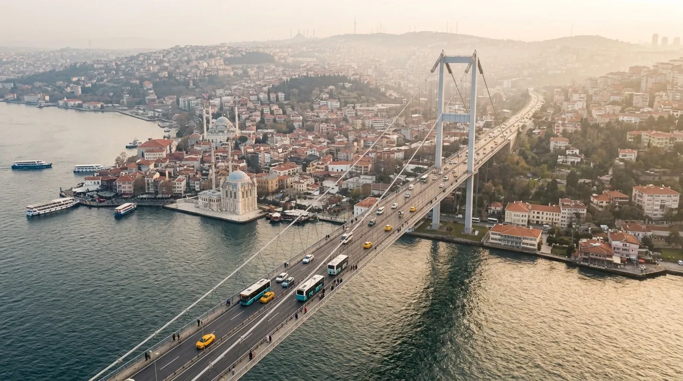
The Bosphorus Strait separates the European and Asian sides of Istanbul and links the Sea of Marmara to the Black Sea. The Dardanelles connect the Aegean to the Marmara. Both straits lie entirely within Turkish territory, and a cruise through them is one of Istanbul's finest experiences.
What Turkey's Location Means for You in Practice
Flight Distances from the Gulf
- Riyadh - Istanbul: about 4-4.5 hours (3,000 km)
- Dubai - Istanbul: about 4.5-5 hours (3,000 km)
- Doha - Istanbul: about 4-4.5 hours
- Kuwait - Istanbul: about 3.5-4 hours
- Manama - Istanbul: about 4-4.5 hours
Time Zone Differences
Turkey uses Eastern European Time (UTC+3) year-round, identical to Saudi Arabia, Qatar, Kuwait, and Bahrain, and one hour behind the UAE and Oman. Flying in from the Gulf involves no jet lag at all.
Climate Diversity by Region
- Istanbul and the northwest: temperate; warm summers and rainy winters with light snow
- The north (Trabzon, Rize): rain year-round, endless greenery, the mildest region in summer
- The south (Antalya): Mediterranean climate; hot dry summers and warm winters
- The center (Ankara, Cappadocia): continental; hot dry summers and cold snowy winters
Practical Info for Arab Visitors
| Item | Details | Note for Arab Visitors |
|---|---|---|
| Area | 783,562 sq km | Roughly France and Germany combined |
| Continents | Asia and Europe | 97% Asia, 3% Europe |
| Time zone | UTC+3 | Same as most of the Gulf |
| Currency | Turkish Lira | 1 USD ≈ 38-40 TRY |
| Main airports | Istanbul, Antalya, Trabzon | Direct flights from the Gulf |
| Distance from Gulf | 3-5 hours by air | The nearest European destination to the Gulf |
| Neighbors | 8 countries | From Greece to Iran |
| Seas | Black, Aegean, Mediterranean | Plus the Sea of Marmara |
| Language | Turkish | English common in tourism |
| Entry | GCC exempt for 90 days | By air or land borders |
The Seven Regions: Turkey's Geography Made Simple

Turkey's geography divides the country into seven regions, and each one feels like a small country of its own, with distinct nature, climate, and cities. Understanding this map simplifies your choice: instead of evaluating 81 provinces one by one, you compare just seven clear options:
| Region | Top Cities | Character | Best For |
|---|---|---|---|
| Aegean Region | Izmir, Bodrum, Pamukkale | Beaches, olive groves, Greek ruins | History lovers and quiet coasts |
| Mediterranean Region | Antalya, Marmaris, Alanya | Golden beaches and huge resorts | Families and warm-sea swimmers |
| Black Sea Region | Trabzon, Rize, Samsun | Green mountains and year-round rain | Families escaping summer heat |
| Marmara Region | Istanbul, Bursa | Big cities, shopping, and nature | Short trips and city breaks |
| Central Anatolia | Ankara, Cappadocia, Konya | Steppes, Seljuk history, balloons | Culture and lunar landscapes |
| Eastern Anatolia | Van, Erzurum, Elazig | Towering peaks and vast lakes | Strong nature and adventure |
| Southeastern Anatolia | Gaziantep, Sanliurfa, Mardin | Historic towns and famous cuisine | Closest to the Gulf by land |
One practical note: the road distance between Turkey's westernmost major city (Izmir) and its easternmost (Van) is about 1,900 kilometers, roughly the distance from Riyadh to Istanbul; so never try to cover the whole country in one trip — one region, or two neighboring regions at most, is the realistic limit.
Road Distances Between the Top Tourist Cities
Turkey's domestic flights are excellent and affordable, yet many Gulf families prefer a private car with a driver between nearby cities. These are realistic driving times between the most requested destinations:
| Route | Distance | Driving Time | Recommendation |
|---|---|---|---|
| Istanbul - Bursa | 250 km | 3 hours | Full day or one night |
| Istanbul - Trabzon | 1,050 km | 12 hours | Fly domestically instead (1.5 hours) |
| Antalya - Cappadocia | 540 km | 7 hours | Overnight stop or a short flight |
| Izmir - Pamukkale | 250 km | 3.5 hours | Easy day trip |
| Antalya - Alanya | 130 km | 2 hours | Comfortable family day drive |
| Trabzon - Uzungol | 100 km | 2.5 hours | Day tour with a driver |
Golden rule: once a route exceeds 400 kilometers, consider a domestic flight — early-bird fares start at 20-30 USD per person and save you a full day of your holiday.
Reaching Turkey by Land from the Gulf
A growing option each year: driving your own car from the Gulf into Turkey through the Ibrahim Khalil (Habur) crossing on the Turkish-Iraqi border, then heading north toward the southeastern cities of Gaziantep, Mardin, and Sanliurfa. The drive from Kuwait City to Gaziantep takes about 12-14 hours of continuous driving, and from Riyadh around 20 hours split over two days with an overnight stop.
Land travelers need a passport valid for at least 6 months, car insurance valid inside Turkey (easily purchased at the border), and the vehicle registration card if the car is registered in their name. Drive during daylight hours and avoid the harsh winter months in Eastern Anatolia, where snow can close mountain roads for days.
North vs. South: Which Location Suits Your Family?
The question every Gulf family asks each summer, and the answer depends on your travel dates and favorite activities:
| Criteria | The South (Antalya) | The North (Trabzon) |
|---|---|---|
| Summer heat | 32-38C by day | 22-27C by day |
| The sea | Warm and perfect for swimming | Cold; swimming not advised |
| Nature | Rocky and golden beaches | Green mountains, lakes, valleys |
| Hotels | Mega resorts with kids' clubs | Smaller hotels with a family feel |
| Best season | April - October | June - September |
| Best for | Beach and swimming lovers | Cool weather and greenery lovers |
Families escaping Gulf heat in July and August tend to choose the north, while spring and autumn trips are better in the south — nicer weather and lower prices than the crowded summer peak.
Turkish Airports: Where to Land According to Your Destination
Each region has its nearest airport, and choosing the right arrival airport saves you extra domestic flights:
- Istanbul Airport (IST): the largest with the most Gulf flights; the ideal starting point for any route
- Sabiha Gokcen (SAW), Istanbul: a cheaper alternative for budget flights
- Antalya Airport (AYT): gateway to the Mediterranean coast, with seasonal direct flights from most Gulf cities
- Trabzon Airport (TZX): gateway to the Black Sea, with summer direct flights from Riyadh, Jeddah, and Dubai
- Dalaman (DLM) and Bodrum (BJV): for the Aegean region and its coastline
- Kayseri (ASR) and Cappadocia (NAV): closest to the balloons and the valleys
Choose your arrival airport by the region where you will spend the longest time, not only by the cheapest ticket; an extra domestic flight can eat the whole price difference.
How to Plan Your Route Around the Geography
Start from your arrival airport and build a loop that never repeats the same road twice. The classic family route: three nights in Istanbul, a domestic flight to Antalya or Trabzon for two to four nights, then the international departure from the same city or back via Istanbul. This circular plan saves both time and money.
Travelers with longer holidays (10 days or more) can combine two complementary regions: Marmara with the Black Sea in one trip, or the Mediterranean south with Cappadocia via a short domestic flight from Antalya. The principle is simple: long distances by plane, short distances by car.
Turkey's Rivers and Lakes: A Quick Geographic Look
Water is an essential part of understanding Turkey's location, especially for travelers planning lake and nature trips:
- Lake Van: the country's largest lake (3,713 sq km) with salty water, in the far east of Anatolia
- Lake Tuz: the second largest; its white salt surface turns into a pink mirror in summer, in Central Anatolia
- Lake Beysehir: the largest freshwater lake in the country, near Konya in western Central Anatolia
- Abant and Uzungol lakes: the two small nature jewels closest to the Istanbul and Trabzon circuits
- Kizilirmak River: the longest river lying entirely within Turkey (1,355 km), flowing into the Black Sea
- The Euphrates and the Tigris: both rise on the Eastern Anatolian plateau and flow south toward Syria and Iraq — a fact that links the Gulf's geography directly to Turkey's
These numbers matter in practice: the Black Sea lakes sit right on the classic Trabzon tours, Lake Tuz deserves a photo stop between Ankara and Cappadocia, and the sources of the Euphrates and Tigris in the east make Turkey's location a natural extension of the Gulf region.
FAQ
- Is Turkey in Asia or Europe? — In both. About 97% of its area lies in Asia (Anatolia) and 3% in Europe (Thrace), and Istanbul alone stretches across both banks of the Bosphorus.
- What is the capital of Turkey? — Ankara, located in the center of the country. Many assume it is Istanbul because it is the largest and most famous city, but Ankara has been the political capital since 1923.
- How far is Turkey from Saudi Arabia? — About 3,000 kilometers from Riyadh to Istanbul, or 4-4.5 hours of direct flight, and even less to Trabzon and Antalya from some cities.
- Is there a time difference between Turkey and the Gulf? — None with Saudi Arabia, Qatar, Kuwait, and Bahrain (UTC+3), and only one hour with the UAE and Oman.
- Which seas does Turkey border? — The Black Sea in the north, the Aegean in the west, and the Mediterranean in the south, plus the inland Sea of Marmara between the two straits.
- Why is Turkey's location considered strategic? — It controls the Bosphorus and the Dardanelles, the sea passages linking the Black Sea to warm waters, and acts as a trade and cultural bridge between three continents.
- Which Turkish city is closest to the Gulf? — In the southeast, cities like Gaziantep and Sanliurfa, but the closest tourist destinations by air are Antalya and Trabzon with seasonal direct flights.
- Can I cross the Bosphorus between the two sides of Istanbul easily? — Yes, via two bridges (Bosphorus and Fatih Sultan Mehmet), the Marmaray tunnel, and frequent ferries running from morning to midnight at cheap fares.
- Where is the highest point in Turkey? — Mount Ararat on the eastern border at 5,137 meters, the mountain some traditions associate with Noah's Ark.
- How does Turkey's location affect the best time to visit? — The country is so wide that each region has its own season: the south from April to October, the north from June to September, and Cappadocia in spring and autumn.
- Is Turkey large compared to Arab countries? — Yes; it is close to the size of Saudi Arabia, more than twice the size of Iraq, and many times the combined area of Syria, Lebanon, Jordan, and Palestine.
- Can I visit both the European and Asian sides in one day? — Absolutely; in Istanbul you can have breakfast on the European side and lunch on the Asian side via a ferry or bridge within minutes.
Conclusion
Turkey's position between two continents and three seas is the secret behind its charm: a morning on the Mediterranean and an afternoon in the Black Sea mountains is possible on one extended trip. For Arab visitors, this proximity means a short flight (3-5 hours), an identical time zone, and diversity rarely found in a single destination. Pick your region by season and enjoy.
Hotels in Turkey · Private transfer in Turkey · Turkey tours
Explore Turkey's unique location and book your trip today!
Related Articles and Resources
For a complete trip to Turkey, explore these helpful resources:
- Browse and book hotels across Turkey
- Reserve private transfer services
- Book guided tours and excursions
- Read more: Where is Turkey located
- Read more: Which continent is Turkey in
- Read more: Turkey overview
- Read more: Turkey weather year-round
- Read more: Turkey tourist cities overview
Official Sources
Verify travel information through these official channels:
- Visa application: evisa.gov.tr
- Weather updates: mgm.gov.tr
- Tourism portal: goturkiye.com
- Foreign affairs: mfa.gov.tr
- Maps: yandex.com.tr/maps
Sources
Related travel guides
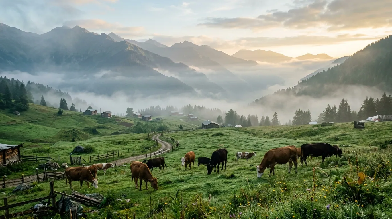
Ayder highlands 5-day itinerary 2026: a day-by-day plan for Arab families covering thermal pools, valleys, and Trabzon.
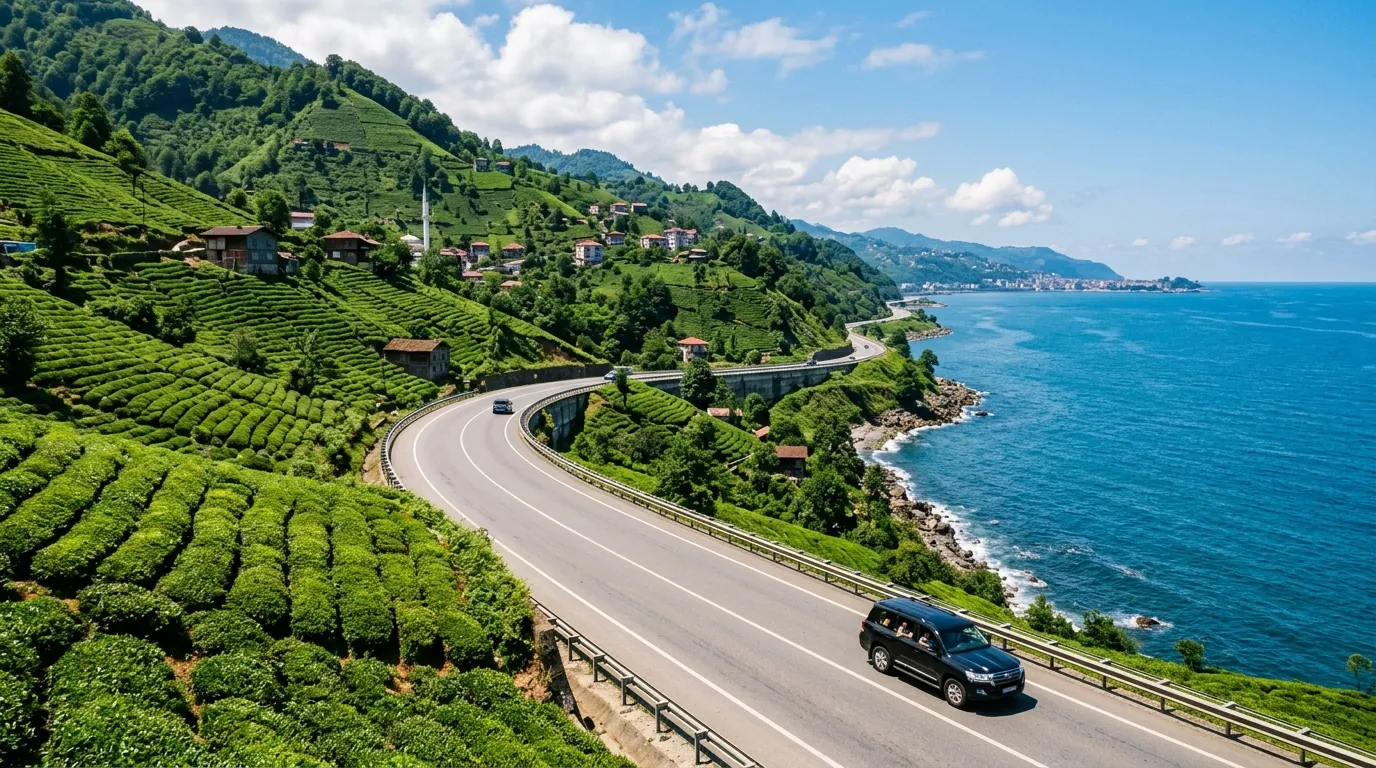
Ayder Trabzon distance 5-day itinerary 2026: a day-by-day plan for Arab families covering the transfer route.
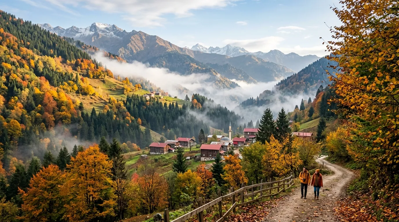
Ayder Turkey weather 2026: monthly averages, rain patterns, best months to visit, and packing tips for Gulf families.
Ready to explore Turkey?
Voyago brings together hotels, tours and transfers to help you plan the perfect trip to Turkey.