
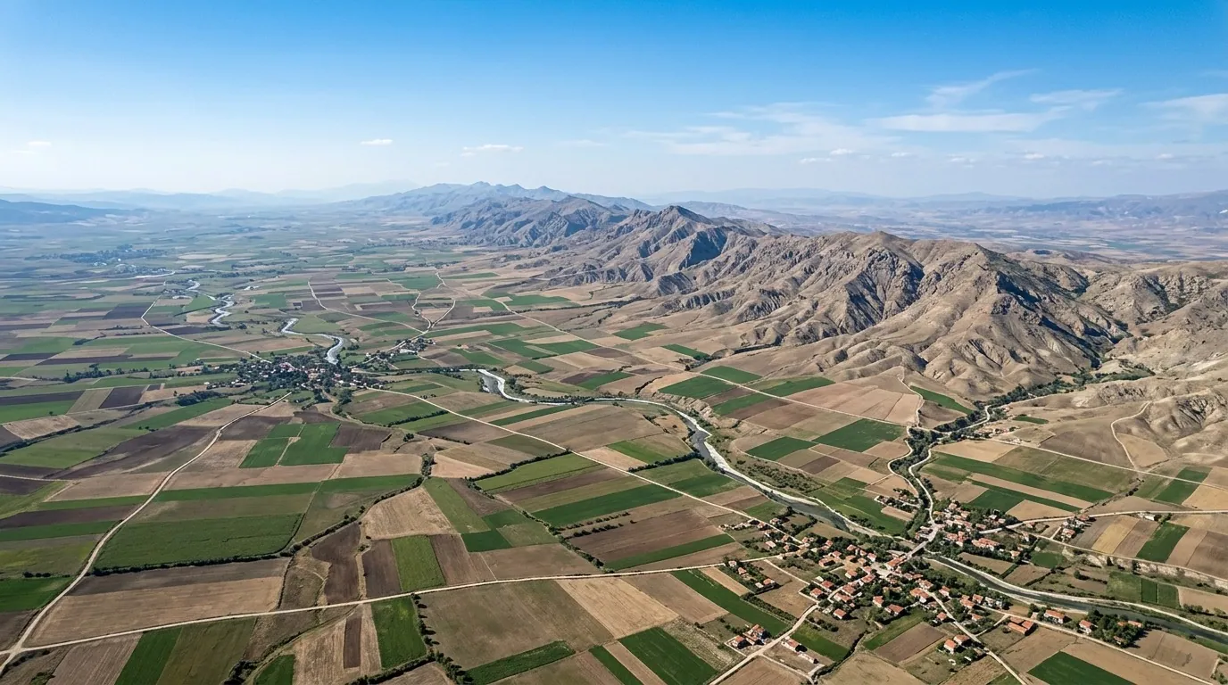
Turkey's geography is the first key to understanding the country as a destination: a state stretching across two continents, ringed by three seas and two famous straits, with terrain that shifts from golden Mediterranean beaches to green mountain ranges to dry interior plateaus. For a Gulf visitor, understanding this map means a smarter trip: choosing a region that fits your travel season, judging inter-city distances correctly, and avoiding the classic mistake of assuming Turkey is one landscape. This guide builds your complete mental map — the numbers, then the seven regions, then the practical comparisons — linking you at every step to a specialist guide such as Turkey area size in numbers.
Quick Answer for Gulf Visitors
How big is Turkey? 783,562 square kilometres across two continents: about 97% in Asia Minor (Anatolia) and 3% in Europe (Thrace).
How many geographic regions? Seven official regions and 81 provinces, each with a distinct climate and landscape.
What does the geography mean for your trip? Distances are genuinely large; every major tourist city needs a domestic flight or a full day by car, so plan for two regions, not five, per trip.
The Core Geographic Numbers
| Figure | Value | What it means for visitors |
|---|---|---|
| Total area | 783,562 km² | larger than France, slightly less than Germany plus the Netherlands |
| Asian share | about 97% | Anatolia, home to most tourist cities |
| European share | about 3% | Thrace, holding part of Istanbul and Edirne |
| Provinces | 81 | an administrative system like Gulf governorates |
| Official regions | 7 | each with its own climate and nature |
| Highest peak | Mount Ararat, 5,137 m | in the far east near the border |
| Coastline | about 8,000 km | shores on three seas plus the Marmara corridor |
| Land neighbours | 8 countries | Greece and Bulgaria northwest, four Arab and Muslim states south and east |
These numbers alone explain why Turkey cannot be seen in one trip; a country the size of several European nations together deserves multiple visits, each with a different region and mood, and the full first-trip walkthrough is in the travel to Turkey guide.
Two Continents in One Country
Turkey is one of the few countries on two continents; the Bosphorus and Dardanelles straits and the Sea of Marmara divide the two sides, crossed by two famous suspension bridges in Istanbul that symbolise this unique span. The small European side — Thrace — holds Istanbul's western districts and historic Edirne, while the Asian side carries Anatolia with all its major cities from Ankara to Trabzon to Antalya. For the traveller, this duality is a daily experience inside Istanbul itself: breakfast on one continent and lunch on the other via a short cruise — one of the trip's most enjoyable details for children and adults alike.
Three Seas and Two Straits
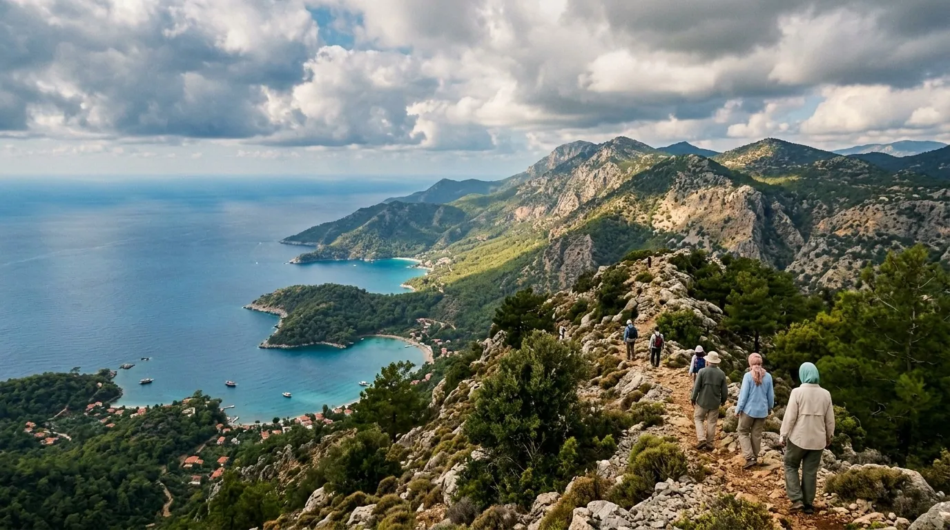
Three open seas and one inner corridor surround Turkey: the Black Sea in the north with its high green coast where Trabzon sits, the Aegean in the west with its indented shores and islands around Izmir and Bodrum, and the Mediterranean in the south with its golden beaches around Antalya, all stitched together by the inland Sea of Marmara between the two straits. Each sea has a clear personality: the Black Sea is cold-watered, green-coasted, rainy and mild in summer; the Mediterranean is warm, touristy and lively in season; the Aegean sits between the two with a beautiful Greco-Italian character. These differences shape your choice more than you might think: a family fleeing the heat goes north, while a family wanting swimming and full resort services goes south.
The Seven Regions: Which One for Which Traveller?
| Region | Climate character | Key cities | Best for |
|---|---|---|---|
| Marmara | mild and humid | Istanbul, Bursa, Edirne | everyone's first visit |
| Aegean | Mediterranean-mild | Izmir, Bodrum, Kusadasi | quiet-coast lovers |
| Mediterranean | hot dry summers | Antalya, Alanya, Fethiye | beach and resort fans |
| Central Anatolia | continental, dry | Ankara, Konya, Cappadocia | culture trips and balloons |
| Black Sea | green, rainy, mild | Trabzon, Rize, Samsun | heat escapers |
| Eastern Anatolia | mountainous, cold | Erzurum, Van, Agri | adventurers and lakes |
| Southeastern Anatolia | hot and dry | Gaziantep, Urfa, Mardin | deep history and rich food |
An important practical note: the favourite Gulf summer pairing is Marmara then the Black Sea — Istanbul then Trabzon — fully detailed in the complete Trabzon guide and where Trabzon is located. For the capital on the inland road, the Ankara guide explains its strategic position amid the plateaus.
Mountains and Nature
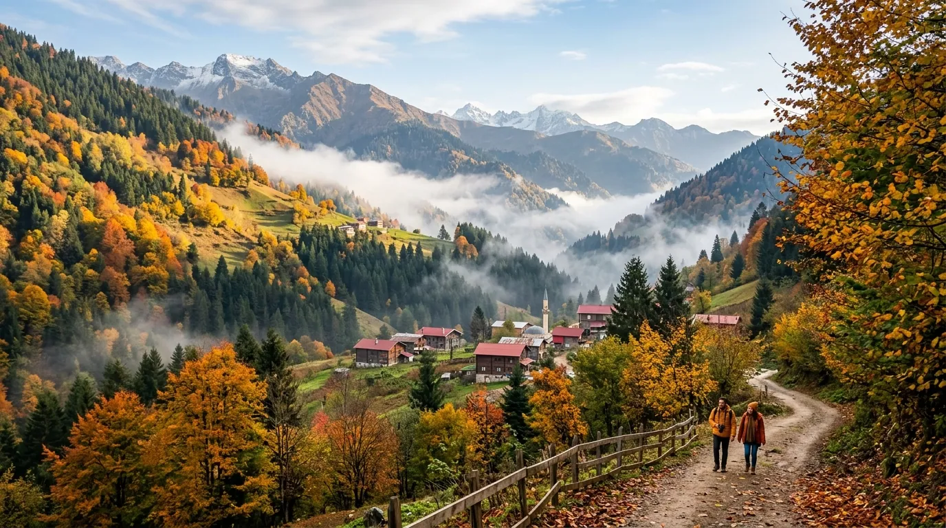
Turkey is more mountain than plain: the Taurus ranges run along the southern shore guarding the coast, the Black Sea ranges rise in the north and create the famous greenery, and the Anatolian plateau occupies the centre about a kilometre above sea level. The highest summit is the iconic Mount Ararat near the eastern border, and Lake Van, the country's largest, sits in the same region. What this relief means for you: scenery changes radically over short distances — you can swim in the Mediterranean in the morning and climb into cool highlands two hours later — and mountain roads are beautiful but winding, calling for a calm driver; practical inter-city transport details are in the transfer service.
Islands and Peninsulas: The Other Seaside
Turkey owns a world of small and medium islands few Arab visitors know: the nine Princes' Islands off Istanbul with their car-free streets and horse carriages, Bozcaada in the Aegean with its coves and Greek-flavoured villages, Kekova closest to the shore with its famous sunken ruins, and the Datca peninsula and Marmaris island area with rocky clear coasts. These destinations suit a full day from the coastal cities or one quiet night, and the most family-famous are the Princes' Islands for proximity: a short ferry from Istanbul buys a whole day of walking and cycling among historic wooden houses. For planning purposes, treat the islands as part of their parent coastal region rather than standalone destinations needing special arrangements.
Lakes and Waterfalls
Turkey's inland water face rivals its coasts: giant Lake Van with its soda waters in the east, the salty white-sheet Lake Tuz at the centre, the mountain Uzungol most beloved by Gulf visitors in the north, Duden Falls in Antalya and Tortum Falls in the east, and the tranquil mountain Lake Abant amid Bolu's forests. Most of these water sights fit into a single day from nearby cities, and the most visited by Gulf families is Uzungol for how easily it slots into a Trabzon programme.
Practical Distances Between Cities
| Route | Distance | Best means |
|---|---|---|
| Istanbul - Ankara | about 450 km | one-hour flight or high-speed train |
| Istanbul - Trabzon | about 950 km | 90-minute domestic flight |
| Istanbul - Antalya | about 700 km | 70-minute domestic flight |
| Istanbul - Bursa | about 150 km | two hours by car or ferry |
| Ankara - Cappadocia | about 300 km | three hours by car |
| Antalya - Fethiye | about 200 km | three beautiful coastal hours by car |
The working rule from the table: anything beyond 400 kilometres deserves a domestic flight, anything less deserves the car for the joy of the road, with the wider detail in the complete travel guide.
Borders and the Eight Neighbours
On land Turkey borders eight countries: Greece and Bulgaria to the northwest, Georgia to the northeast, Armenia, Azerbaijan (Nakhchivan) and Iran to the east, and Iraq and Syria to the south. This neighbourhood explains the deep shared history in each zone: Greek and Roman ruins along the western coast, Georgian and Armenian touches in northeastern architecture, and a warm Arab spirit across the southeast from Gaziantep to Mardin. The good news for Gulf travellers is that these southern and southeastern border regions are hospitable and open onto a culture and cuisine completely different from Istanbul and Antalya — Mardin in particular ranks among the region's most beautiful cities with its view over Mesopotamia.
Comparison: The North or the South?
The key geographic question for a Gulf family: the Black Sea in the north or the Mediterranean in the south? The north — Trabzon and Rize — is green, cool in summer, short on sun and rich in cloud, ideal for heat escapees who love mountains and walking. The south — Antalya and Alanya — is golden-beached, hot in summer and thick with resorts, ideal for swimming, lounging and full resort services. Peak timing differs too: the north peaks in July and August with the Gulf season, while the south runs from May to October. Many families skip the choice and combine both in ten days.
Climate of the Regions: What to Pack
The basic rule: Turkey is not one climate but roughly four. The Mediterranean and Aegean coasts are hot and dry in summer, mild and rainy in winter; the Black Sea coast is mild in summer with rain spread across the year; the central plateau is continental with big day-night swings and snowy winters; and the mountainous east is the coldest, needing winter layers even in spring. Applied to your suitcase: for Istanbul plus Trabzon take summer clothes, a light jacket and a rain layer; add warm layers for Cappadocia nights; and for Antalya summer wear plus something for over-cooled restaurants is enough. For month-by-month detail the official source is the Turkish met service.
Common Geographic Mistakes
Mistake one: assuming "Turkey is cool in summer"; the south is very hot in July and only the north is cool. Two: measuring distances with small-Gulf instincts; Istanbul-Trabzon is a full day by road, not a drive. Three: ignoring climate differences within a single week — one trip's suitcase may need summer clothes and a mountain jacket together. Four: combining east and west in one trip; the far east is its own natural zone needing a dedicated journey. Avoiding these four starts with understanding Turkey population facts and how people distribute, since inhabited cities always follow the geography.
Practical Info for Gulf Visitors
| Item | Detail |
|---|---|
| Best region for a cool summer | the Black Sea (Trabzon, Rize) |
| Best region for swimming | the Mediterranean (Antalya, Fethiye) |
| Best region for culture | Marmara and Central Anatolia |
| Entry document | passport valid six months; Gulf citizens exempt |
| Currency | Turkish lira |
| Time difference | roughly two hours behind the Gulf |
| Official weather | Turkish met service |
| Sights source | Turkish tourism authority |
FAQ
- How big is Turkey exactly? 783,562 square kilometres per official figures, split between Asia and Europe — full detail and comparisons in the area guide.
- Which continent is Turkey in? Both; the larger share is Asian, the smaller European, and Istanbul itself straddles the two sides joined by bridges and cruises.
- How many seas surround Turkey? Three open seas — the Black, Aegean and Mediterranean — plus the inland Sea of Marmara between the straits.
- What is Turkey's highest mountain? Mount Ararat in the east at 5,137 metres, an iconic peak ringed by beautiful lake country.
- How many provinces does Turkey have? 81 provinces across seven official regions, each with its administrative centre and tourist towns.
- Is Turkey bigger than Saudi Arabia? No; Saudi Arabia covers roughly two million square kilometres, about 2.7 times larger, and Turkey is close to the size of Texas.
- Which region suits Gulf families in summer? The Black Sea for cool and green, the Mediterranean for sea and resorts, and Marmara always for a first visit.
- Are inter-city distances large? Yes; the major cities sit hundreds of kilometres apart and domestic flights cut them to hours.
- Trabzon or Antalya, geographically? Trabzon means green mountains, a cold sea and steady rain; Antalya means golden beaches, warm water and hot dry summers.
- Does travel between regions need special planning? Yes; cap a single trip at two regions and pre-arrange the transfer between them to save time and fatigue.
- Where is Ankara and why is it the capital? In central Anatolia on the plateau, chosen as capital in 1923 for its central position away from borders — the Ankara guide has the detail.
- What is the best weather source before booking? The official Turkish meteorological service breaks down every region's climate month by month before you pack.
Conclusion
Turkey's geography is the first planning tool, not trivia: a country on two continents with three seas and seven regions, whose 783,562 square kilometres demand respect for distance. Pick your region by your season — the north for cool and green, the south for sea and beaches, Marmara for history and cities — and never combine more than two regions in one trip. The right mental map ultimately produces a balanced journey with no climate surprises, no exhausting transfers and no under-packed suitcase.
Hotels across all Turkish regions · Private inter-city transfers · Tours in every region
Related travel guides
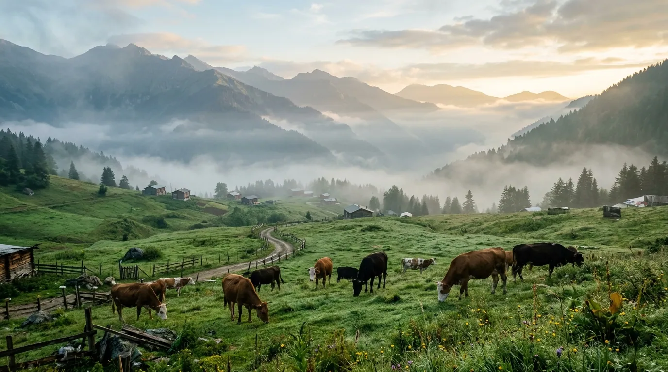
Ayder highlands 5-day itinerary 2026: a day-by-day plan for Arab families covering thermal pools, valleys, and Trabzon.
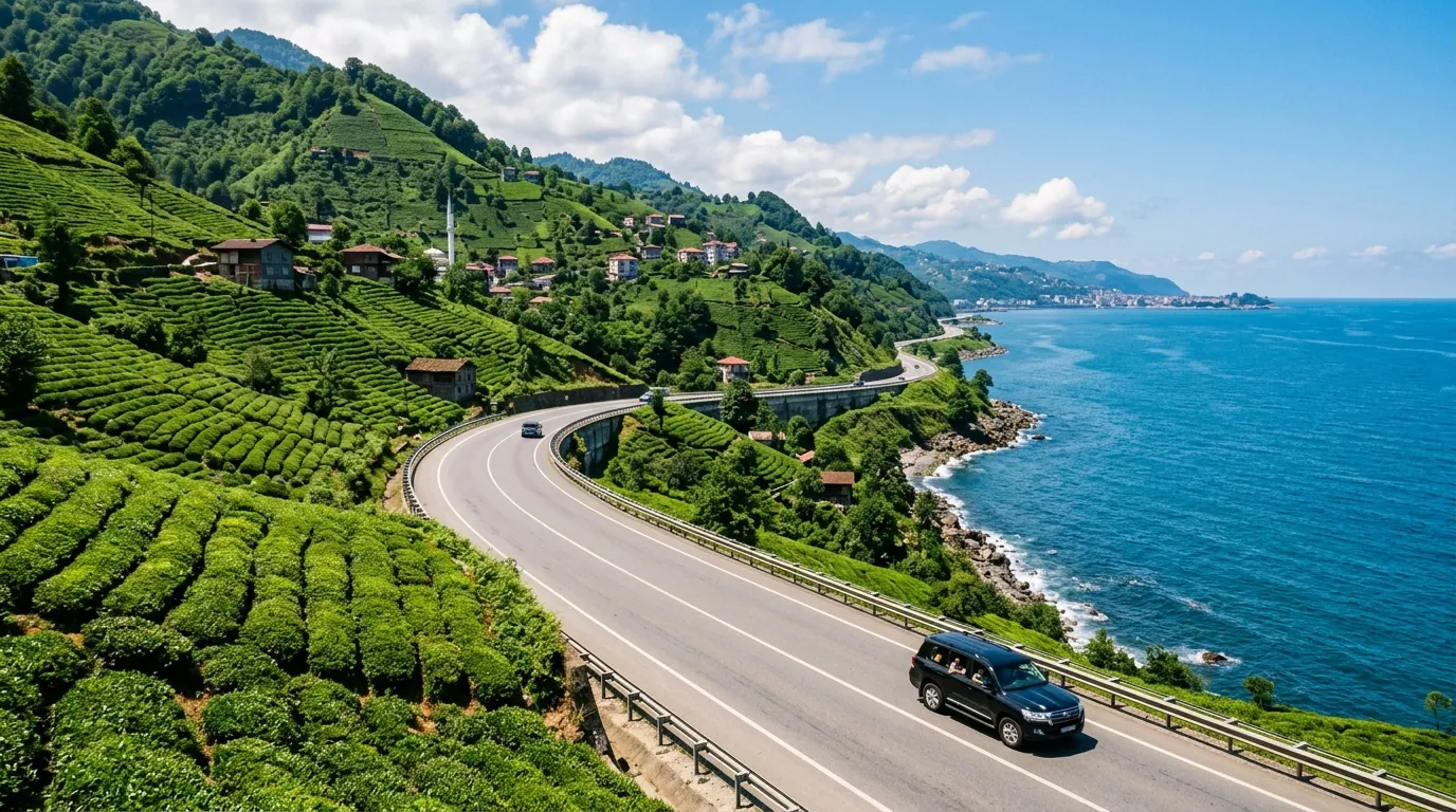
Ayder Trabzon distance 5-day itinerary 2026: a day-by-day plan for Arab families covering the transfer route.
Ayder Turkey weather 2026: monthly averages, rain patterns, best months to visit, and packing tips for Gulf families.
Ready to explore Turkey?
Voyago brings together hotels, tours and transfers to help you plan the perfect trip to Turkey.