
Quick Answer for Gulf Visitors
How large is Türkiye? — 783,562 square kilometers per official figures, of which roughly 97% sits in Asia and 3% in Europe.
Where does it rank worldwide? — Around thirty-sixth by area, and it nearly equals France and the United Kingdom combined.
Is Türkiye bigger than Saudi Arabia? — No; Saudi Arabia spans about 2.15 million square kilometers, roughly 2.7 times larger.
The Official Number and Its Breakdown
Türkiye's total area is 783,562 square kilometers according to the Turkish Statistical Institute, the figure used in official publications and textbooks. It splits across two continents: the Asian part, covering the Anatolian plateau and the whole Anatolian peninsula, measures about 755,688 square kilometers; the European part, East Thrace, holds only about 23,764 square kilometers. That split makes Türkiye one of the widest two-continent states without being the largest in either one.
For a quick mental picture: the European slice approximates a small state such as Slovenia, while the Asian part alone nearly matches the whole modern country minus that small head. Türkiye is in practice an Anatolian country par excellence with a small but historically and economically sensitive European cape, home to Istanbul itself, the famous city straddling both sides of the Bosphorus strait.
World and Regional Rank
Türkiye sits around thirty-sixth among world countries by area, ahead of France, Germany and the United Kingdom individually by wide margins: about 1.42 times France, 2.2 times Germany and 3.2 times the UK. In its neighborhood, Iran, Saudi Arabia and Egypt are larger, while Türkiye leads every nearby European and Middle Eastern state.
This mid-large size grants a rare geographic advantage: too small to administer as a subcontinent, too large to treat as a small state; an area sufficient for a full climate spectrum from a warm Mediterranean shore to freezing central plateaus, paired with balanced economic and strategic weight. For travelers specifically, that variety is what lets one trip pass through different seasons of landscape and mood.
Area Comparisons with Familiar Countries
| Country | Area (km2) | Relative to Türkiye | Quick Note |
|---|---|---|---|
| Saudi Arabia | 2,150,000 | 2.7x Türkiye | Far larger |
| Egypt | 1,001,449 | 1.28x Türkiye | Somewhat larger |
| Türkiye | 783,562 | 1 | The reference |
| France | 551,695 | 0.70 Türkiye | Türkiye ~42% larger |
| Germany | 357,588 | 0.46 Türkiye | Under half |
| United Kingdom | 243,610 | 0.31 Türkiye | About a third |
| Japan | 377,975 | 0.48 Türkiye | Just under half |
A paradox worth savoring: Gulf visitors often assume Türkiye is small because it looks that way on the map beside its giant neighbors, then discover that flying Istanbul to Trabzon takes two hours and Istanbul to Antalya about seventy-five minutes. Big areas are understood by traveling them, not by reading their numbers.
What the Area Means Practically for Tourists
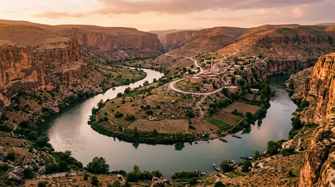
The map says one country; movement says several spread-out regions that deserve flight planning. The distance from Istanbul to the far east exceeds 1,500 kilometers, to Antalya about 700, and to Izmir in the west roughly 500. That is why we always advise focusing a short trip on one or two regions and using domestic flights for the big hops instead of rail or road when time is tight.
Size also writes itself into the weather on a single day: Antalya can hold a 35-degree summer afternoon while Ayder's northern plateaus sit at 22 with possible mist. That duality surprises visitors from climatically uniform countries and is a real opportunity to combine heat and mildness in one smartly ordered itinerary. City and distance details across the top destinations are expanded in our travel to Türkiye guide.
The Administrative Map: 81 Provinces
The vast area divides into 81 administrative provinces, the largest by territory being eastern interior ones such as Sivas and Kars, and the smallest central ones such as Yalova. Istanbul province itself is comparatively small in area yet the undisputed population leader with over fifteen million people; the demographic distribution is unpacked in our Türkiye population facts piece. The capital Ankara lies almost at the heart of Anatolia, a deliberately strategic geographic choice whose story is told in our capital Ankara article.
The large province count serves travelers in one practical way: each province is a ready service hub, so long overland routes pass through strings of mid-size cities equipped with fuel, restaurants and hotels, making road trips less risky than they appear.
Coasts and Borders: The Complementary Numbers
Türkiye fronts four bodies of water: the Black Sea to the north, the Aegean to the west, the Mediterranean to the south and the Sea of Marmara at its heart, with a total coastline near 8,333 kilometers excluding islands. It shares land borders with eight countries — Greece, Bulgaria, Georgia, Armenia, Azerbaijan, Iran, Iraq and Syria — totaling roughly three thousand kilometers. These frontier facts are detailed further in our piece on Türkiye's borders, and for the wider neighborhood the countries near Türkiye article ties the picture together.
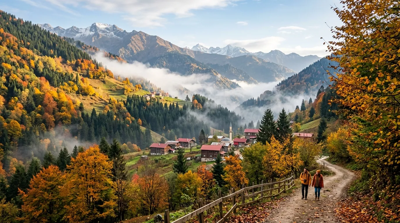
The tourist takeaway: each coast is a separate personality. The Black Sea is green with mountains folding around it, the Mediterranean is warm with golden beaches, the Aegean is calm with islands and coves, and Marmara is urban with clustered cities. Anyone who thinks a beach is a beach has visited only one of them.
A Historical Note on Size
Modern Türkiye's area was not always what it is; the republic inherited Ottoman territories in Europe and the Arab East that were lost in the early twentieth century, and the current borders settled in the 1920s within agreements that redrew the Near East. Türkiye's present borders are thus relatively young against the region's deep history, yet stable under internationally settled arrangements for nearly a century.
For official geographic and administrative detail, consult the Türkiye government portal and the Turkish Statistical Institute, which publish the certified figures first, plus the Turkish Ministry of Foreign Affairs for a diplomatic view of the neighborhood.
Travel Time Comparison Between Key Cities
| Route | Approx. Road Distance | Domestic Flight Time |
|---|---|---|
| Istanbul to Antalya | 720 km | 1h 15m |
| Istanbul to Izmir | 480 km | 1h 05m |
| Istanbul to Trabzon | 1,000 km | 1h 40m |
| Istanbul to Cappadocia (Kayseri) | 730 km | 1h 45m |
| Ankara to Diyarbakir | 650 km | 1h 10m |
These times reflect the gap between flat-map distances and the winding geographic reality, and they are the first practical tool for sequencing any multi-city plan without exhaustion. The rule: any route beyond 500 kilometers deserves a domestic ticket rather than an eight-hour drive.
Area Comparison Between the Major Turkish Regions
| Region | Approx. Area | Share of Türkiye | Character |
|---|---|---|---|
| Black Sea | 116,000 km2 | 15% | Green, rainy, dense coast |
| Central Anatolia | 90,000 km2 | 12% | Dry plateaus, Ankara capital |
| Aegean | 90,000 km2 | 12% | Coastal plains, historic cities |
| Mediterranean | 120,000 km2 | 15% | Warm beaches, coastal mountains |
| Eastern Anatolia | 164,000 km2 | 21% | High mountains, continental |
| Southeastern Anatolia | 76,000 km2 | 10% | Hot plains, multiple borders |
| Marmara | 67,000 km2 | 8% | Istanbul's dense zone |
The figures are approximate and mirror the seven geographic regions Turkish geographers use. The core idea is that every region carries a different personality, and a smart traveler picks one or two regions based on season and energy, rather than trying to cover the whole country in a cursory visit.
What a Large Area Means for the Climate
Türkiye, with its mid-large footprint, sits under three distinct climate patterns: Mediterranean on the southern and western coasts, humid continental along the Black Sea, and semi-arid continental across central and eastern Anatolia. This variety shows up in tourism seasons: the southern coast welcomes visitors from April to November, the northern coast from June to September, and inland Anatolia offers four clear seasons with cold winters and snow on the mountains. Size is therefore not just a number but a real diversity that mirrors itself in clothing, activities and best visiting windows. When booking a short trip, it is essential to pay attention to the expected weather in the specific region rather than Türkiye as a whole. Visa and entry details are in our Turkey visa for Saudis guide, completing the practical picture before departure.
Practical Tips for Gulf Visitors on Türkiye's Size
- Do not try to cover more than two regions on a short trip; distances are long and domestic flying is the smarter choice.
- Watch the weather in your specific region, not Türkiye as a whole; the climate gaps between Istanbul, Antalya and Trabzon are huge on the same day.
- Book domestic flights early and avoid last-minute purchases; prices can double fast.
- Take advantage of the low-cost domestic network covering every major city under $100 each way.
- Schedule one flexible day in your itinerary to avoid exhaustion from trying to cover too many cities.
- On long road trips allocate a rest day every two days, since the road tires you out across mountains and plains alike.
- Use private transfers for airport access rather than hailing taxis.
Comparing Numbers with Popular Gulf Destinations
| Country | Area | Approx. Population | Gap to Türkiye |
|---|---|---|---|
| UAE | 83,600 km2 | 9.5 million | Türkiye 9.4x the UAE |
| Saudi Arabia | 2,150,000 km2 | 35 million | Türkiye 0.36 of Saudi Arabia |
| Egypt | 1,001,449 km2 | 105 million | Türkiye 0.78 of Egypt |
| Türkiye | 783,562 km2 | 85.7 million | Reference |
| Morocco | 446,550 km2 | 37 million | Türkiye 1.75x Morocco |
| Jordan | 89,342 km2 | 11 million | Türkiye 8.8x Jordan |
The table places the Turkish area in its real context for Gulf travelers: Türkiye sits between Morocco and Egypt in size and is close to France and Germany combined, which is why moving between its headline sights demands trip planning that respects distances.
Practical Info for Gulf Visitors
| Item | Details |
|---|---|
| Official area | 783,562 square kilometers |
| Provinces | 81 |
| Continents | Asia 97%, Europe 3% |
| Coasts | About 8,333 km across four seas |
| Largest city | Istanbul by population, not the capital |
| Further reading | The complete Türkiye guide and Türkiye area |
FAQ (12 Questions)
- What is Türkiye's exact area? — 783,562 square kilometers per the official Turkish statistics.
- Is it bigger than France? — Yes, by roughly 42%.
- How many Türkiye's fit in Saudi Arabia? — Türkiye equals about 36% of Saudi Arabia's area.
- How big is the European share? — Only about 3% of the total.
- What is the longest internal distance? — From the far west to the far southeast, over 1,600 kilometers.
- How many provinces exist? — 81 administrative provinces.
- Is Istanbul in Asia or Europe? — Both; the city spreads across the two sides of the Bosphorus.
- Why do domestic flights matter here? — Inter-region distances are large and domestic flying is cheap and dense.
- Has the area been constant historically? — Current borders settled in the 1920s after major changes.
- Which coastline is longest? — The Mediterranean, then the Black Sea; the total nears 8,333 kilometers.
- Where does Ankara sit within the area? — Near central Anatolia, a deliberate strategic choice.
- Is Türkiye bigger than Iran? — No; Iran measures about 1.65 million square kilometers.
Conclusion
Türkiye's 783,562 square kilometers make it a large middle power: smaller than its southeastern neighbors, bigger than Europe's heavyweights. For Gulf visitors the practical meaning is single: plan each trip around one or two regions, lean on domestic flights for the long hops, and savor a variety — four seas, plateaus and green highlands — that smaller countries simply cannot offer.
Sources
Related travel guides
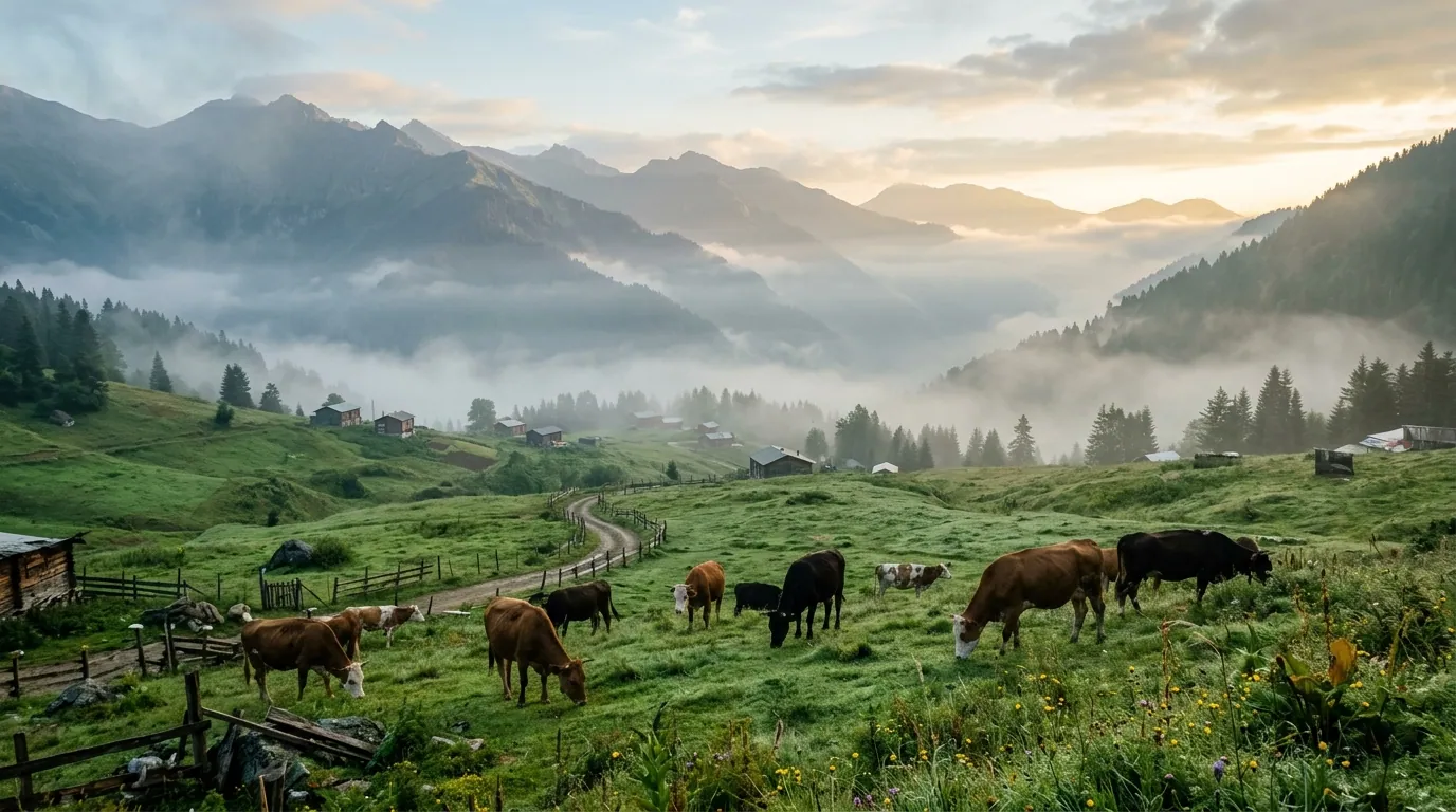
Ayder highlands 5-day itinerary 2026: a day-by-day plan for Arab families covering thermal pools, valleys, and Trabzon.
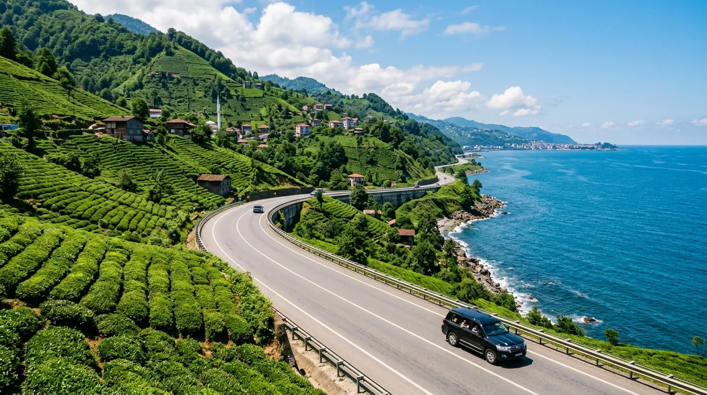
Ayder Trabzon distance 5-day itinerary 2026: a day-by-day plan for Arab families covering the transfer route.
Ayder Turkey weather 2026: monthly averages, rain patterns, best months to visit, and packing tips for Gulf families.
Ready to explore Turkey?
Voyago brings together hotels, tours and transfers to help you plan the perfect trip to Turkey.