
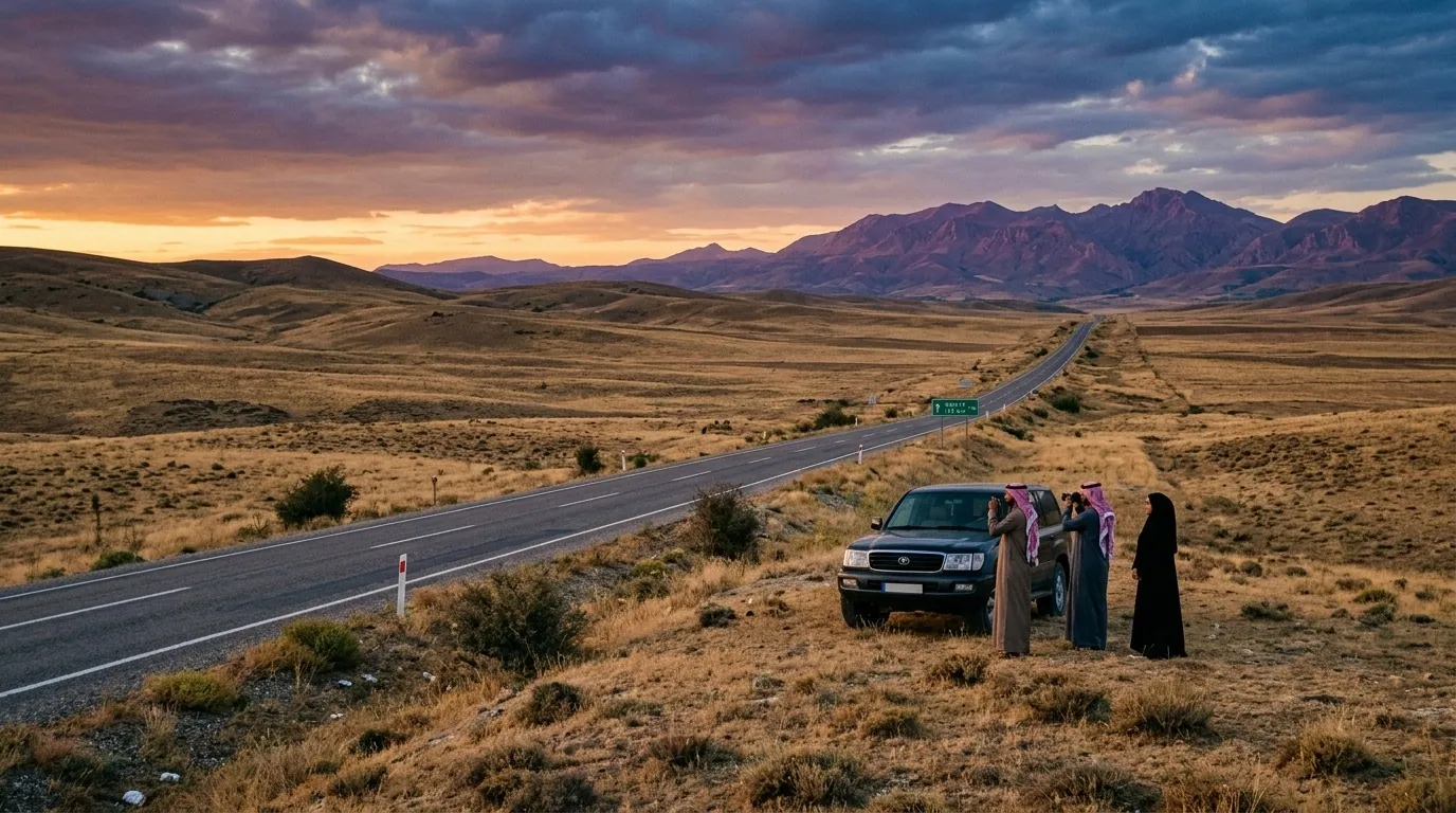
Quick Answer for Gulf Visitors
How big is Turkey officially? 783,562 square kilometres (about 302,535 square miles), placing it 36th-37th in the world by area.
How does Turkey's area compare with the Gulf? It equals 9.4 times the UAE, 68 times Qatar, 996 times Bahrain, but is only 36% of Saudi Arabia.
What does that mean for your trip? The area makes Turkey too large to cover in one go; pick one region per 4-5 days, and lean on domestic flights to shrink the long distances.
The Official Area Numbers
| Indicator | Figure | Note for travellers |
|---|---|---|
| Total area | 783,562 km² | includes land and inland lakes |
| Asian share (Anatolia) | 755,688 km² (97%) | where most major tourist cities sit |
| European share (Thrace) | 27,874 km² (3%) | western Istanbul, Edirne, Kirklareli |
| East-west extent | 1,660 km | from Kars to the Aegean coast |
| North-south extent | 780 km | from Sinop on the Black Sea to Antakya on the Mediterranean |
| Number of provinces | 81 | each with its administrative character |
| Number of regions | 7 | climate and nature zones |
| Total coastline | 8,333 km | including islands |
| Longest river within Turkey | Kizilirmak 1,355 km | empties into the Black Sea |
| Largest lake | Lake Van 3,755 km² | in the east |
| Highest peak | Mount Ararat 5,137 m | on the Iranian border |
These figures are the official numbers from the Turkish Statistical Institute (TÜİK) and form the basis for any realistic trip plan.
Turkey's Global Area Ranking
| Rank | Country | Area (km²) |
|---|---|---|
| 34 | Egypt | 1,001,450 |
| 35 | Tanzania | 945,087 |
| 36-37 | Turkey | 783,562 |
| 38 | Pakistan | 881,913 |
| 39 | Chile | 756,102 |
Turkey ranks ahead of major tourist countries: 42% larger than France (552,000 km²), 1.3 times Spain (505,990 km²), and 1.8 times Germany (357,114 km²). It sits firmly inside the world's top 40 by area. And since area alone does not explain the country, pair these figures with the facts about Turkey's population.
Turkey Compared With the Gulf: A Detailed Table
| Country | Area (km²) | Turkey comparison | Real-world equivalent |
|---|---|---|---|
| Saudi Arabia | 2,150,000 | Turkey ≈ 36% | three Istanbul-Kars drives |
| Oman | 309,500 | Turkey ≈ 2.5× | Istanbul-Konya round trip |
| UAE | 83,600 | Turkey ≈ 9.4× | Istanbul to its far eastern corner |
| Kuwait | 17,818 | Turkey ≈ 44× | bigger than all of Kuwait by a hundred |
| Qatar | 11,571 | Turkey ≈ 68× | the Qatari peninsula is just 0.15% of Turkey |
| Bahrain | 786 | Turkey ≈ 996× | a small archipelago in the Gulf corner |
Reading the table: when a Gulf traveller reads about a "road trip from Istanbul to Kars," that single distance equals several Riyadh-Jizan round trips.
The Seas and Their Coast Lengths Around Turkey
Turkey is washed by four seas, each with a different shore length:
| Sea | Location | Coast length | Tourist character |
|---|---|---|---|
| Black Sea | north | 1,655 km | green rainy shores; Trabzon, Rize |
| Sea of Marmara | northwest | 1,389 km | internal and urban; Istanbul, Bursa |
| Aegean Sea | west | 2,824 km | coves and yachts; Izmir, Bodrum, Cesme |
| Mediterranean | south | 2,474 km | golden beaches; Antalya, Fethiye, Marmaris |
| Total | — | 8,342 km | longer than Spain's or Italy's shore |
The Turkish Mediterranean coast alone (2,474 km) is more than twice the Qatari coast, and the total coast approaches the combined shore of France and Italy.
Land Borders: Eight Countries Share a Border With Turkey
| Country | Border length (km) | Tourism meaning |
|---|---|---|
| Syria | 911 | an easy air link to Mardin and Urfa |
| Iran | 534 | Van crossing; Persian cultural touches |
| Iraq | 384 | near Mosul and Erbil |
| Armenia | 316 | the way to Kars |
| Georgia | 276 | northeastern Anatolian corridor |
| Bulgaria | 223 | the Thracian road |
| Greece | 206 | the European crossing |
| Azerbaijan (Nakhchivan) | 18 | a small eastern pocket |
| Total | 2,868 km | spread across eight countries |
Turkey touches eight countries on land, while most countries border only four or five. This explains the diversity of cuisine, culture and architecture from province to province.
Turkey's Ten Largest Provinces by Area
| Province | Area (km²) | Known to travellers for |
|---|---|---|
| Konya | 40,813 | Anatolian steppes and the Mevlevi order |
| Sivas | 28,488 | history and mountain nature |
| Ankara | 25,706 | the capital and its museums |
| Erzurum | 25,066 | the coldest city and ski resorts |
| Antalya | 20,177 | the beach holiday capital |
| Mugla | 12,655 | Bodrum and Marmaris |
| Izmir | 11,973 | the Aegean capital |
| Kastamonu | 13,108 | northwestern forests |
| Adana | 14,030 | eastern kebab and agriculture |
| Diyarbakir | 15,272 | southeastern history |
Although Konya is the largest, it receives far fewer tourists than Antalya, which is smaller in area but welcomes over 15 million visitors a year. Area alone does not make a tourism economy; for the country's second city read the guide to Ankara, the capital.
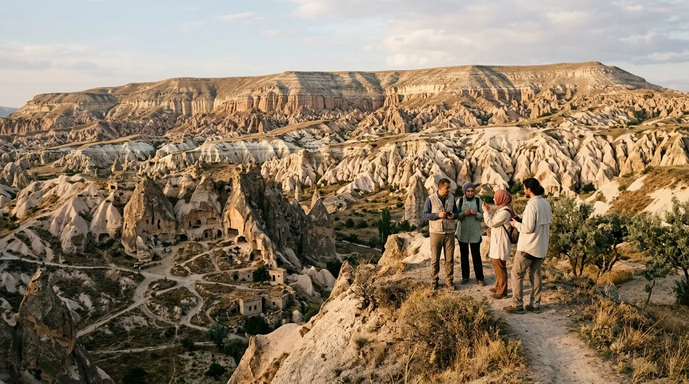
What These Numbers Mean for Your Trip: The Practical Translation
Distances Between Major Destinations
| Route | By road (km) | By air (minutes) | Travel decision |
|---|---|---|---|
| Istanbul - Antalya | 720 | 70 | always fly |
| Istanbul - Trabzon | 1,070 | 90 | always fly |
| Istanbul - Cappadocia | 730 | 70 | fly or a long scenic drive |
| Istanbul - Izmir | 480 | 65 | fly or take the train |
| Antalya - Bodrum | 330 | 50 | luxury bus or short flight |
| Ankara - Konya | 260 | 50 | high-speed train or bus |
| Trabzon - Urfa | 900 | 100 | always fly |
The golden rule: any road distance above 500 km earns a domestic flight, and for the full first-trip walkthrough see the complete travel to Turkey guide.
Area × Time: What the Transfer Costs You
- Istanbul-Kars (easternmost Turkey): 1,500 km by road, 19 driving hours, 90 minutes by air.
- Istanbul-Hatay (the far south): 1,000 km, 13 driving hours, 100 minutes by air.
- Istanbul-Edirne (far west): 235 km, three driving hours.
The further east or south you go, the more the area forces a flight. Driving across Turkey is a beautiful experience, but it consumes full days.
Taming the Area: Three Transport Modes
Domestic flights are the first answer for long distances, with early-booked economy fares ranging from 25 to 70 USD on the popular legs. Turkish domestic carriers reach more than 50 local airports.
High-speed trains (YHT) serve two main axes: Istanbul-Ankara-Konya and Ankara-Eskisehir. This axis shrinks the gap between the two biggest Turkish cities and suits travellers who prefer the road without the fatigue of driving.
Luxury intercity buses (otobüs) connect every city to every other, and are well-known for comfort and service. They are ideal for 4-8 hour road distances and are the common overnight option that saves a hotel night.
A private car with driver is the best choice for Gulf families and for the mountainous areas of the north (Uzungol, Ayder) where the roads are winding and demanding.
Area and Climate: How the Map Changes by Season
| Region | Climate character | Approximate area | Best season |
|---|---|---|---|
| Marmara | mild humid | 67,000 km² | April to October |
| Aegean | mild Mediterranean | 90,000 km² | May to September |
| Mediterranean | hot dry | 120,000 km² | April to October |
| Central Anatolia | dry continental | 151,000 km² | May to September |
| Black Sea | wet rainy | 116,000 km² | June to August |
| Eastern Anatolia | very cold | 164,000 km² | June to August only |
| Southeastern Anatolia | hot dry | 76,000 km² | March to November |
Note that Eastern Anatolia alone equals twice the size of Lebanon and is open to tourism for just five months of the year.
Area and Population: A Density Map
Turkey has about 85 million people, but their distribution follows the coastal density:
| Region | Approximate area | Population share | Tourism meaning |
|---|---|---|---|
| Istanbul-Ankara-Izmir axis | 200,000 km² (25% of Turkey) | 65% of the population | full infrastructure and dense services |
| Southern coast | 50,000 km² | 12% | seasonal resorts |
| Northern coast | 35,000 km² | 8% | nature and quiet |
| East and southeast Anatolia | 500,000 km² (64% of Turkey) | 15% of the population | scattered cities and long roads |
The geographic takeaway: 64% of Turkey's area receives only 15% of its population, which is why eastern and southeastern routes are quieter and more spacious.
How to Split Turkey's Area Across Multiple Trips
A common mistake is trying to cover western and eastern Turkey in a single holiday; the distance between the two farthest points of such a plan can exceed 1,500 kilometres and swallow two full days of transfers. The smarter approach is to divide the country into three major trips, each with its own season, logic and best transport mode.
Trip one — the classic west (7-10 days): Start in Istanbul, continue to Bursa and Eskisehir, then Kutahya and Izmir, and close the loop in Antalya or Bodrum. This axis works comfortably by high-speed train and domestic flights, suits a first visit perfectly, and enjoys a friendly season from April to October with the densest family services in the country.
Trip two — the green north (5-7 days): Base yourself in Trabzon, then Uzungol, the Ayder plateau and Rize, with an optional descent to Amasya if time allows. A private car with driver is the right tool here because the roads are mountainous and winding, and the golden season runs from June to August, escaping Gulf heat for air that barely tops 28 degrees.
Trip three — the east and southeast (7-10 days): Enter through Ankara, then Cappadocia and Konya, onward to Malatya, Diyarbakir, Mardin and Urfa, perhaps finishing in Antakya on the Mediterranean. Distances are genuinely long, but domestic flights connect the major nodes, and spring or autumn is the ideal window when the southern heat eases.
And if you only ever take one trip? Choose a single axis and complete it calmly instead of collecting city names; a finished journey through one region leaves a better memory than a race against the map, and saves a whole new region for next time.
Golden Rules for Dividing the Area Across Your Days
- One region per 4-5 days: do not combine the coast and the east in a short trip.
- Always fly for distances above 500 km: road travel consumes a full day.
- Start with Trabzon or Istanbul: these airports have the easiest Gulf connections.
- Anchor two bases: a fixed hotel with daily transfers is smarter than changing hotels every day.
- Lock in domestic flight times in advance: some routes do not run on Sundays.
- Book a private car for mountain areas: the airport-Uzungol drive takes two hours on winding roads.
- Use YHT between Istanbul, Ankara and Konya: faster than flying once you count total time.
- Plan a rest day between two regions: long transfers drain a family.
Practical Info for Gulf Visitors
| Item | Detail | Note |
|---|---|---|
| Total area | 783,562 km² | fixed in TÜİK data |
| Number of provinces | 81 | each with its tourism character |
| Coastline length | 8,333 km | fourth longest in the Mediterranean basin |
| Number of domestic airports | 57 | a dense network |
| Longest domestic flight | Istanbul-Kars | two hours |
| Longest high-speed line | Istanbul-Ankara-Konya | 4-5 hours |
| Longest bus line | Istanbul-Hatay | 14 hours |
| Best starting base | Istanbul | 95% of international flights |
FAQ
- How big is Turkey in square miles? About 302,535 square miles, ranking 36th-37th globally by TÜİK statistics.
- Is Turkey bigger than Saudi Arabia? No; Saudi Arabia is roughly 2.7 times Turkey, but Turkey packs more touristic variety thanks to its four seas and mountains.
- What percentage of Turkey is in Europe? Only about 3% (27,874 km²); the rest is in Asia on the Anatolian plateau.
- What is the largest Turkish province? Konya (40,813 km²), itself slightly bigger than the entire Netherlands (41,543 km²), home to the Anatolian steppes and the Mevlevi city.
- How many seas does Turkey touch? Four seas (Black, Marmara, Aegean, Mediterranean), each with its own tourism character.
- How long is Turkey's Mediterranean coast? About 2,474 km, the longest of Turkey's seas, running from Antakya to Marmaris.
- How many countries share a land border with Turkey? Eight countries, totalling 2,868 km of land borders.
- Can you drive across Turkey from east to west? Yes in practice (1,660 km), but it takes two full driving days across demanding highland roads.
- What is the longest internal flight? About 1,500 km between Istanbul and Kars, a 90-minute flight.
- Is the area figure fixed or changing? It has been officially fixed since the last administrative change; the recognised figure is 783,562 km².
- What is the difference between the official area and the practical tourism area? Tourism effectively concentrates in 15-20 of the 81 provinces and along 4,000 of the 8,333 km of coast.
- Can you see all of Turkey in a week? No; the area and distances make this impossible without rushing the experience into a blur.
Conclusion
Turkey's area of 783,562 square kilometres places it inside the world's top 40 by area, ahead of France, Spain and Italy individually. For the Gulf traveller, the direct meaning: Turkey is too large to visit in one go, and the trip must be split across one or two regions, with domestic flights as the central tool for melting the distances. Remember that Turkey is 996 times the size of Bahrain, and that the road from Istanbul to Kars alone equals several Riyadh-Jizan round trips — that is what makes a one-week "all of Turkey" ambition impossible.
Hotels across Turkey · Private transfer · Tours
Sources
- TÜİK data: data.tuik.gov.tr
- Official tourism portal: goturkiye.com
- Turkish meteorological service: mgm.gov.tr
- Turkish Airlines: turkishairlines.com
- Yandex Maps for navigation
Related travel guides
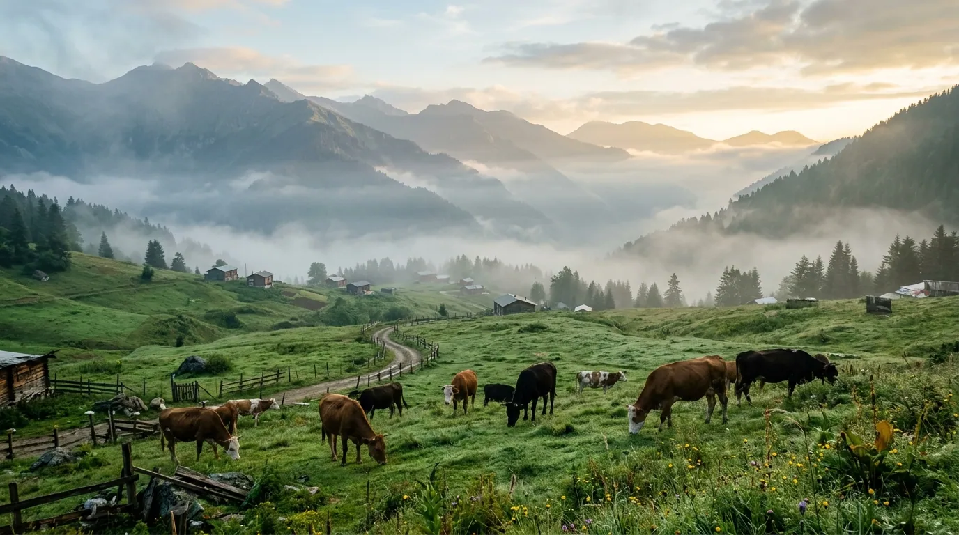
Ayder highlands 5-day itinerary 2026: a day-by-day plan for Arab families covering thermal pools, valleys, and Trabzon.
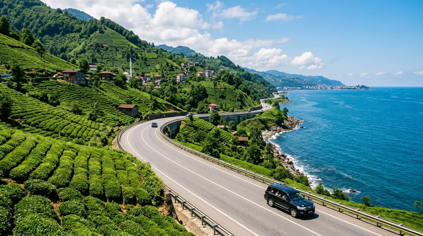
Ayder Trabzon distance 5-day itinerary 2026: a day-by-day plan for Arab families covering the transfer route.
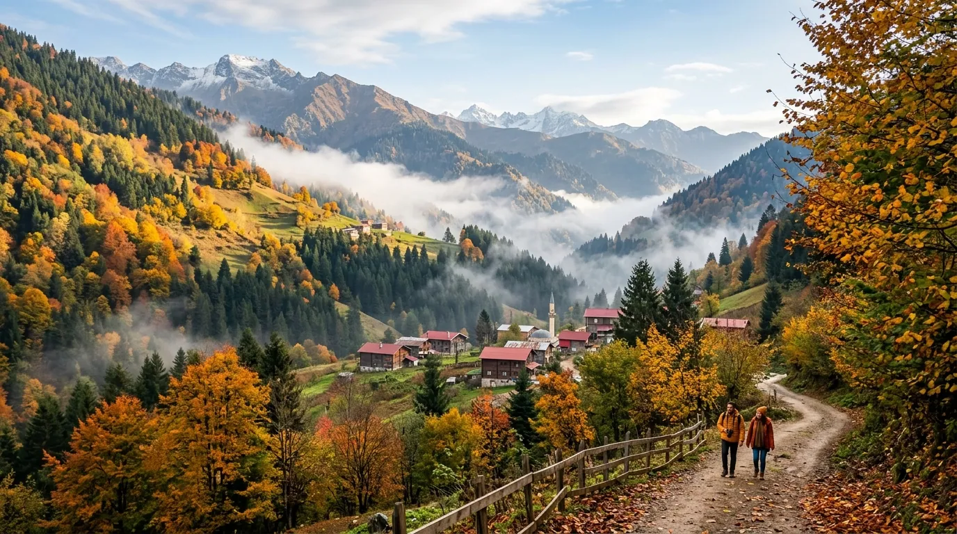
Ayder Turkey weather 2026: monthly averages, rain patterns, best months to visit, and packing tips for Gulf families.
Ready to explore Turkey?
Voyago brings together hotels, tours and transfers to help you plan the perfect trip to Turkey.